
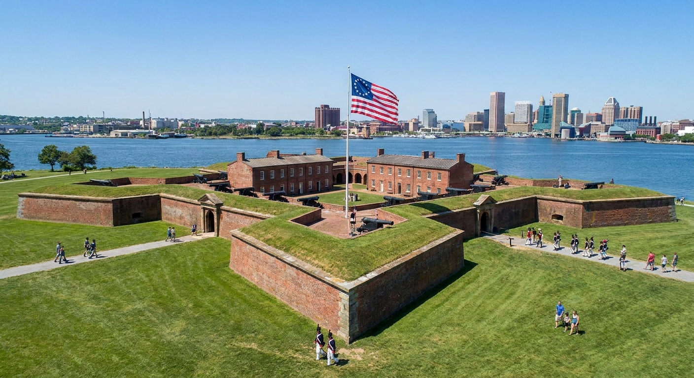
I grew up in upstate New York, where War of 1812 history sits in the ditches and tree lines if you know how to look. The Chesapeake is different. Here, the story moves with tidewater creeks and broad rivers. In 1814 the British did not just march. They sailed, landed, burned, re-embarked, and struck again, threading waterways like back roads.
This three-day road trip uses the Star-Spangled Banner National Historic Trail as a guiding framework, not a strict turn-by-turn set of directions. The official Trail is a network of routes and sites tied to the 1814 Chesapeake Campaign. What I am giving you here is a drivable narrative line: the Patuxent landings near Benedict, the push toward Washington, then the shift north to Baltimore and the defenses that held.
If you want deeper context before you go, start with our War of 1812 site directory at Historic Sites and keep the Timeline open in another tab for quick date checks.
Before you go
What this route covers
- Day 1: Patuxent River landings and the road toward Washington.
- Day 2: Bladensburg, Washington’s 1814 crisis, then the pivot back toward the Chesapeake.
- Day 3: Baltimore’s defenses and the moment that produced the national anthem.
Start and end
Recommended start: Southern Maryland (lower Patuxent corridor).
Recommended end: Baltimore (Fort McHenry and the waterfront).
Drive time reality
- Day 1 (lower Patuxent to Upper Marlboro): plan for 1.5 to 2.5 hours of total driving, depending on where you start and how much you meander toward the water.
- Day 2 (Upper Marlboro to Bladensburg to Washington, then toward Baltimore): the driving is not long, but traffic can make it feel long. Treat this as a walking-heavy day.
- Day 3 (Baltimore): minimal driving if you keep your stops tight.
Timing notes
- Summer: humidity and mosquitoes are part of the Chesapeake package. Water, bug spray, and patience matter.
- Fall and spring: my favorite seasons for this route, with better walking weather and longer attention spans.
- Winter: short daylight can compress what you can do on foot. Build in earlier starts.
What to pack (the things I always forget once)
- Comfortable walking shoes for uneven fort earthworks and waterfront paths.
- Bug spray in warm months, especially near marshy edges of the Patuxent.
- A small flashlight for reading plaques in shade or dusk parking lots.
- A notebook. The Chesapeake has a way of handing you small human details that you will want to keep.
Quick access check
Some stops on this route are major National Park Service sites with visitor centers, hours, and staffed interpretation. Others are quieter. A roadside pull-off, a shoreline, a courthouse square. That mix is part of the truth of 1814. Before you leave each morning, do the unglamorous thing and check hours and access for any museums, forts, or visitor centers you want to see.
Day 1: Patuxent to the road
Stop 1: Benedict landing area
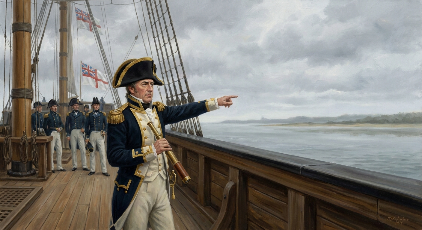
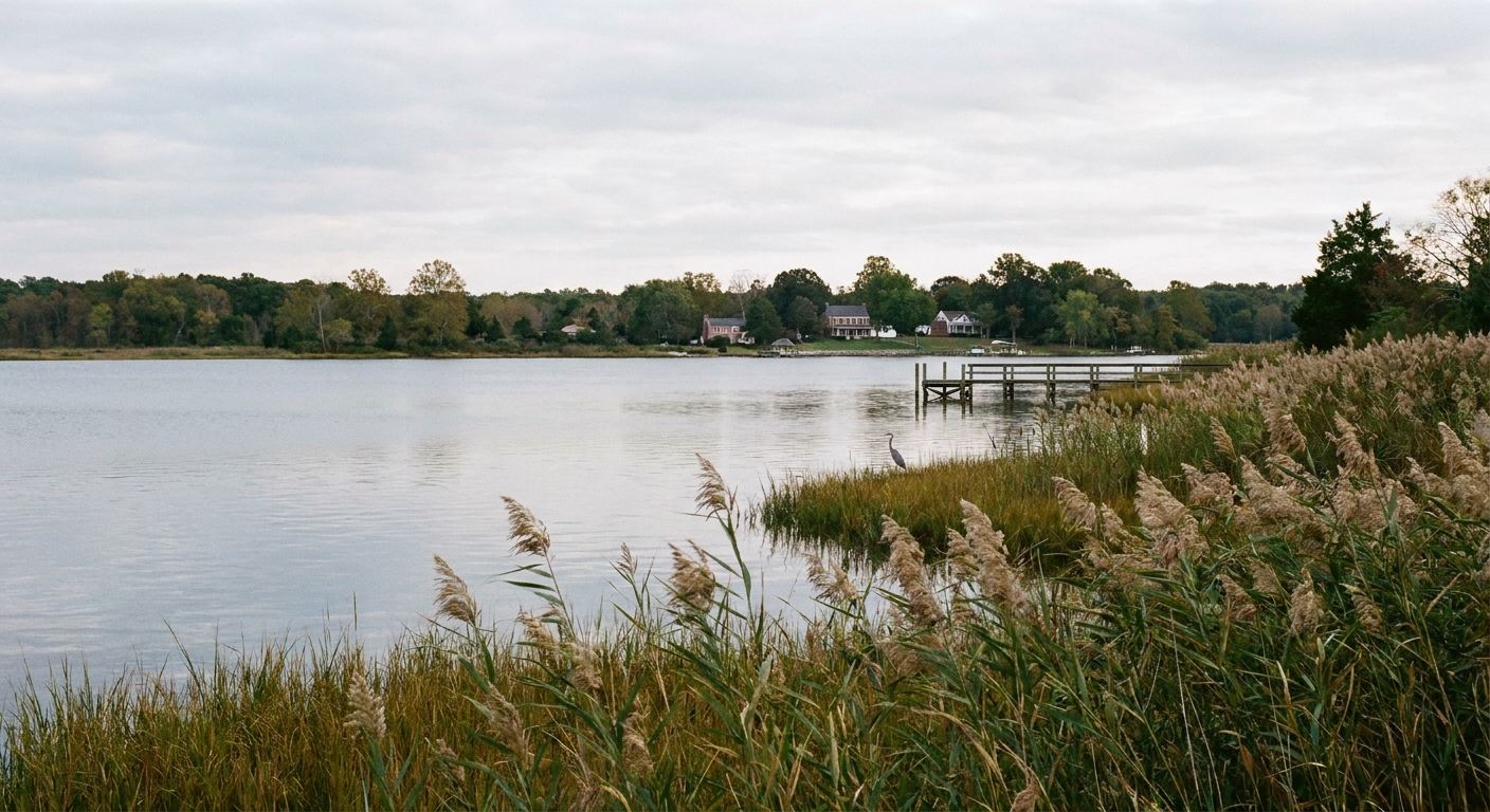
If you want a single, say-it-out-loud anchor point for this whole trip, use Benedict on the lower Patuxent. In August 1814, British forces under Major General Robert Ross, working in coordination with Admiral George Cockburn, landed in this corridor and began the overland push that culminated in Washington’s burning. The pattern is the point: naval mobility, sudden landings, fast movement, then back to the boats when it suited them.
The geography here is not a backdrop. It is the enabling technology.
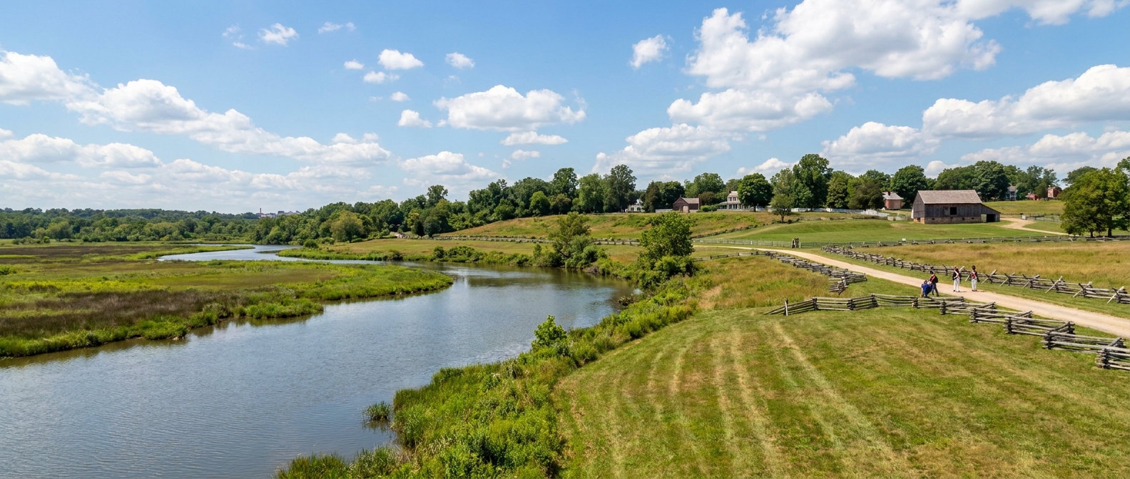
On the ground: aim for a public, legal shoreline view in the Benedict area. If you want something concrete to search for in your maps app, try terms like Benedict boat ramp or Patuxent River park, then choose whatever is clearly marked as public access. You do not need a grand overlook. What matters is that you give yourself ten quiet minutes to do something useful: stand still and watch the river like it is a road. Picture launches shuttling men and supplies from ship to shore. Picture how quickly an army can appear when the shoreline is the parking lot.
Minimum time: 30 to 45 minutes, including a short walk and a slow look at the water.
Stop 2: The flotilla squeeze
From the lower Patuxent, work north along the corridor where the campaign stops feeling like a map and starts feeling like a trap. Commodore Joshua Barney and the Chesapeake Flotilla were pressed up the Patuxent, harried by British pursuit and squeezed by shallow water and geography.
Here is the concrete hook, stated plainly: as the British advance gathered pace in late August 1814, Barney burned and scuttled vessels of his flotilla to keep them from being captured. On roadside markers and local retellings, you will often see this associated with the Pig Point stretch of the Patuxent, and just as often with the broader Nottingham and Upper Marlboro reach of the river. The place-name can shift depending on whose map you are holding. The underlying truth does not: the river narrows your choices until you are deciding what to destroy.
What you need here is a sense of limited options. Park, walk a little, and look at the river as a corridor that can close. Ask yourself what it takes to destroy your own property in order to deny it to an enemy, and what that does to morale on both sides.
Why it matters: losing the flotilla did not create the British overland push, but it did remove an American tool. It stripped away a mobile layer of defense and made the American response feel even more improvised and landlocked.
Minimum time: 30 to 60 minutes.
Stop 3: Upper Marlboro
Finish the day in Upper Marlboro, where the war briefly wore a courthouse face. As the Prince George’s County seat, it was the kind of place armies care about because it concentrates authority, paperwork, and local knowledge.
I am careful with the language here because words like “occupied” can imply a long-term garrison. What happened in 1814 is better described this way: British forces passed through and briefly controlled the town as a stopping point on the march. “Control” can be as simple, and as intimate, as an armed column owning the roads for a night, issuing orders, demanding provisions, and using the town’s center as a temporary nerve hub before moving on.
Do this: walk the town center and do not overcomplicate it. Give yourself a loop around the courthouse square and the nearest approach roads. Look for the practical details a marching column would notice first: the spacing of buildings, the sightlines, where wagons can turn, where authority gathers. If you find a local marker, read it slowly. If you do not, let the town grid do the talking.
Minimum time: 45 minutes to 1.5 hours, especially if you do it as an evening walk.
Stop 4: Set up Day 2
End Day 1 positioned for an early start toward Bladensburg and Washington. You are buying time where it matters: less time in traffic, more time on foot where the story actually happened.
Day 2: Washington and back
Stop 1: Bladensburg
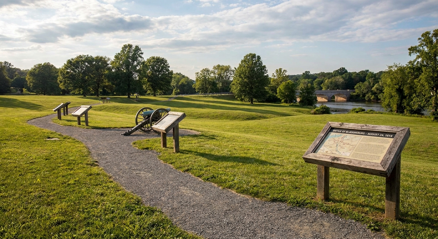
Before you do Washington, do Bladensburg. It is the hinge point. The battle there was the door the British walked through, and it is where American confusion and poor coordination translated into a retreat that still stings in the telling.
Do this: look for the battlefield landscape and interpretive signs in Bladensburg itself. Give yourself enough time to read the panels, walk a short loop, and let the ground explain why a retreat can become a rout.
For a tight narrative of how panic and mismanagement played into the disaster, read Beyond the Bladensburg Races before you go. It will change how you interpret the landscape.
Minimum time: 60 to 90 minutes.
Stop 2: Capitol loop
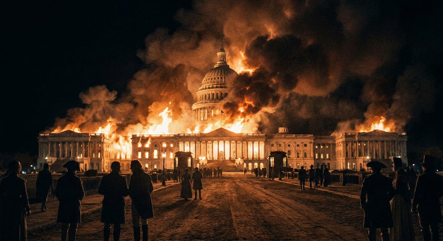
Now move into Washington with 1814 in the front of your mind, not as a footnote. Start on Capitol Hill, where the story is blunt. In 1814, the strike was aimed at the seat of government in a young republic. Not just buildings, but records, continuity, and national confidence.
Micro-loop idea: keep it compact and repeatable. Walk the perimeter of the U.S. Capitol grounds (30 to 45 minutes at an unhurried pace), then continue down to the nearest edge of the National Mall for a short out-and-back (another 20 to 30 minutes). Turn around while you still feel oriented. The point is not mileage. The point is learning the city’s openness on foot.
Minimum time: 60 to 90 minutes on foot.
Stop 3: White House area walk
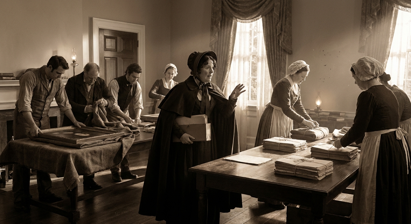
From there, work your way toward the White House area and hold the evacuation story in mind. Pair what you see with our piece on what Dolley Madison really saved. It is a corrective to the simplified version most of us grew up with, and it makes the episode feel like the anxious scramble it was.
Micro-loop idea: make Lafayette Square your anchor. Do one slow circuit of the square and the public perimeter viewpoints (20 to 30 minutes), then take an out-and-back along a straight line that keeps the White House in your mental compass, not behind your shoulder (another 25 to 45 minutes). Stop once, deliberately, and look at the distances between the White House grounds and the broader city grid. Remind yourself how quickly a capital can become a place people flee on foot and in carts.
Minimum time: 45 to 75 minutes.
Stop 4: Back toward the Bay
The burning of Washington was not the end of the story. It was proof of reach. The same amphibious flexibility that brought the British inland also let them withdraw, re-embark, and redirect. When you drive back toward the Chesapeake, you are following that shift: waterborne power choosing the next pressure point.
Practical note: if you can, position yourself for an early Baltimore start. Tomorrow is the payoff: defenses, bombardment, and the civilian city behind the earthworks.
Day 3: Baltimore and the anthem
Stop 1: Fort McHenry
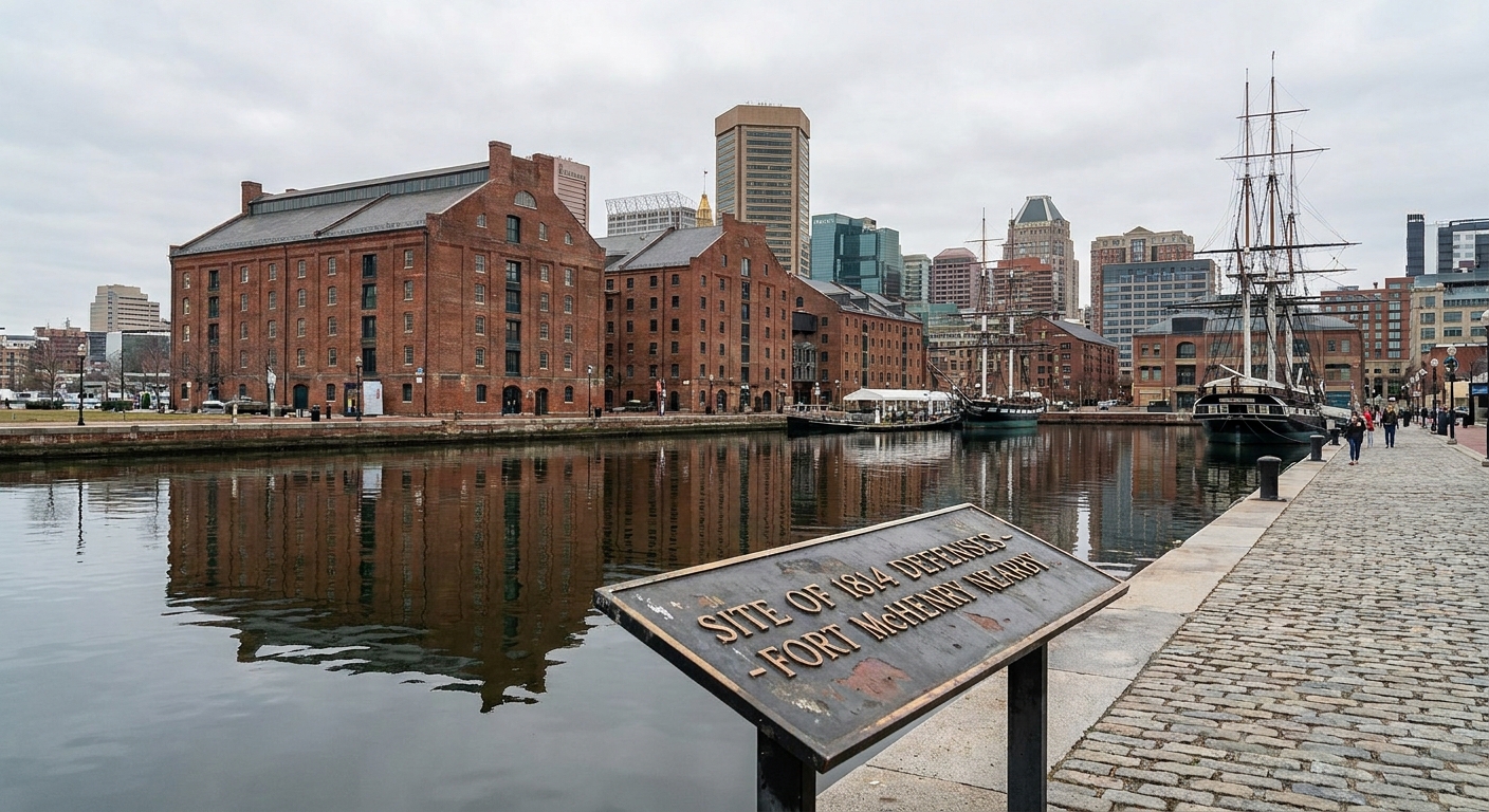
Fort McHenry is where this road trip stops feeling like a series of connected sites and starts feeling like one long exhale. You can stand inside the star fort and feel the geometry of defense, but what sticks with me is the sense of endurance. Fortifications are not brave by themselves. People are brave inside them.
Before you arrive, it helps to know why the British bombardment did not produce the clean victory they wanted. I break that down here: Fort McHenry: Why the Bombardment Failed.
- Do not rush the flag story. Walk the grounds first. Get your bearings. Then return to the places where interpretation focuses on the bombardment and the anthem.
- Listen for distance. Fort McHenry’s story is partly about range: what guns could reach, what rockets could terrify, and what could not be forced.
Minimum time: 2 to 3 hours. More if you like reading every panel, which I do when I am not pretending I am above it.
Stop 2: Harbor and high ground
After the fort, spend time in Baltimore proper. This is where I remind myself that the Star-Spangled Banner story is not only a military one. It is a city story. Working waterfront edges, streets that funnel sound, and neighborhoods where anxious families were close enough to the harbor to hear the war but far enough away to feel helpless.
Do this: start with a simple waterfront orientation walk around the Inner Harbor. Then pick one specific, history-forward second stop that puts you above the waterline. My reliable choice is Federal Hill. It still reads like ground chosen on purpose. Stand there long enough to look back toward the harbor and imagine what it means for a city to organize itself around approaches, lines of sight, and what an enemy ship can or cannot do.
If you like history that follows people beyond the smoke, you may also enjoy From the Battlefield to the Ballot Box, which explores how wartime experiences bled into civic life afterward.
Minimum time: 2 to 4 hours, depending on your pace and how long you linger by the water.
Stop 3: Mary Pickersgill (optional)
If your energy holds, this is the best kind of extra stop because it ties the anthem’s symbolism to craft and work. Mary Pickersgill’s flag-making world was practical before it was iconic. Needlework, contracts, labor, and deadlines. Real hands making a real object under pressure.
Plan it with: Mary Pickersgill’s Flag Shop in Baltimore.
Minimum time: 45 to 90 minutes.
Schedule at a glance
| Day | Region | Main focus | Good on-foot time |
|---|---|---|---|
| 1 | Lower Patuxent to Upper Marlboro | Landing corridor, flotilla squeeze, march route | Benedict shoreline pause, Patuxent corridor look, courthouse square walk |
| 2 | Bladensburg and Washington | Battle hinge and capital crisis | Bladensburg loop, Capitol loop, White House area circuit |
| 3 | Baltimore | Defenses, bombardment, the anthem | Fort McHenry grounds, Inner Harbor walk, Federal Hill viewpoint |
Make it feel human
Better questions
- Where would a family hide valuables if they only had an hour?
- What did people eat when armies pulled local food supplies off the table?
- What would you hear at night near the water: frogs, rigging, distant commands?
- How far could a person walk in a day without good shoes, and still be expected to fight?
Use one evening to read
If you have one quiet hour back at your lodging, skim our broader guides and let them color what you saw that day: Battles, People, and Timeline. A road trip is better when you can place each roadside scene into the larger chain of events.
FAQ
Is this doable with kids?
Yes, especially if you treat Day 1 as a lighter, scenery-forward day and save the big interpretation for Fort McHenry on Day 3. Kids often connect fastest to forts because the shapes are tangible and the distances are walkable.
Do I need to be an expert first?
No. You just need a basic sense of the 1814 arc: British forces land along the lower Patuxent, Bladensburg opens the way, Washington is struck, then attention shifts to Baltimore’s defenses. The linked articles above will give you the muscle on those bones.
What if I only have two days?
Cut Day 1 down to a single lower Patuxent stop for context, then commit the rest to Washington and Baltimore. If you have to choose, Baltimore is the essential anthem day.
Where after this?
If this Chesapeake route hooks you, you might enjoy planning a fort-focused weekend elsewhere. Our readers often pair this trip with guides like Fort George Visitor’s Guide or a longer look at how sites survive as living places, not just exhibits, like Fort Mackinac: Beyond the Tourist Traps.