
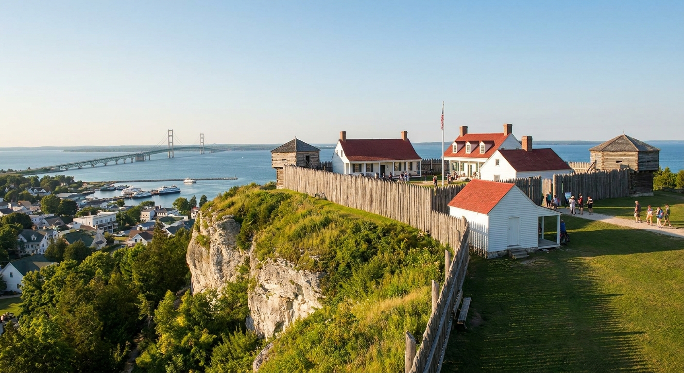
I have nothing against a good scoop of fudge. I grew up in upstate New York, and my grandfather and I could turn any historic walk into an excuse for something sweet afterward. But if you come to Mackinac Island and only taste the sugar, you miss the iron. Fort Mackinac is one of those places where the War of 1812 is not just a date on a plaque. It is a nervous dawn, a short climb, an angle of fire that does not match the real threat, and an entire region’s trade and alliances shifting underfoot.
This is how I like to visit Fort Mackinac when I want more than the standard loop. Think of it as a field method: fewer gift shops, more angles, more quiet corners, and a sharper sense of why this place mattered long after the muskets cooled.
Start with one key question
Before you walk through the fort gate, decide what story you are chasing. At Fort Mackinac, two stories overlap like footprints in damp sand:
- The July 1812 surrender, when British forces and their Indigenous allies seized the post early in the war by taking the high ground and demanding capitulation. The U.S. garrison surrendered without a pitched fight once the threat from the heights became undeniable.
- The fur trade’s long shadow, which shaped who lived here, who supplied armies, who carried news, and who held leverage across the Great Lakes.
One more thing before you go any farther, because people mix it up all the time: Fort Mackinac is the bluff-top fort on Mackinac Island. Fort Michilimackinac is a different site on the mainland, tied to the same strategic world but not the same footprint.
If you keep those two threads in your pocket, the site stops being a checklist of rooms and starts becoming a map of motives. If you want a wider frame first, I keep our broader wayfinding pages bookmarked and return to them when planning a trip: Historic Sites Guide and Timeline Guide.
Walk it like it’s 1812
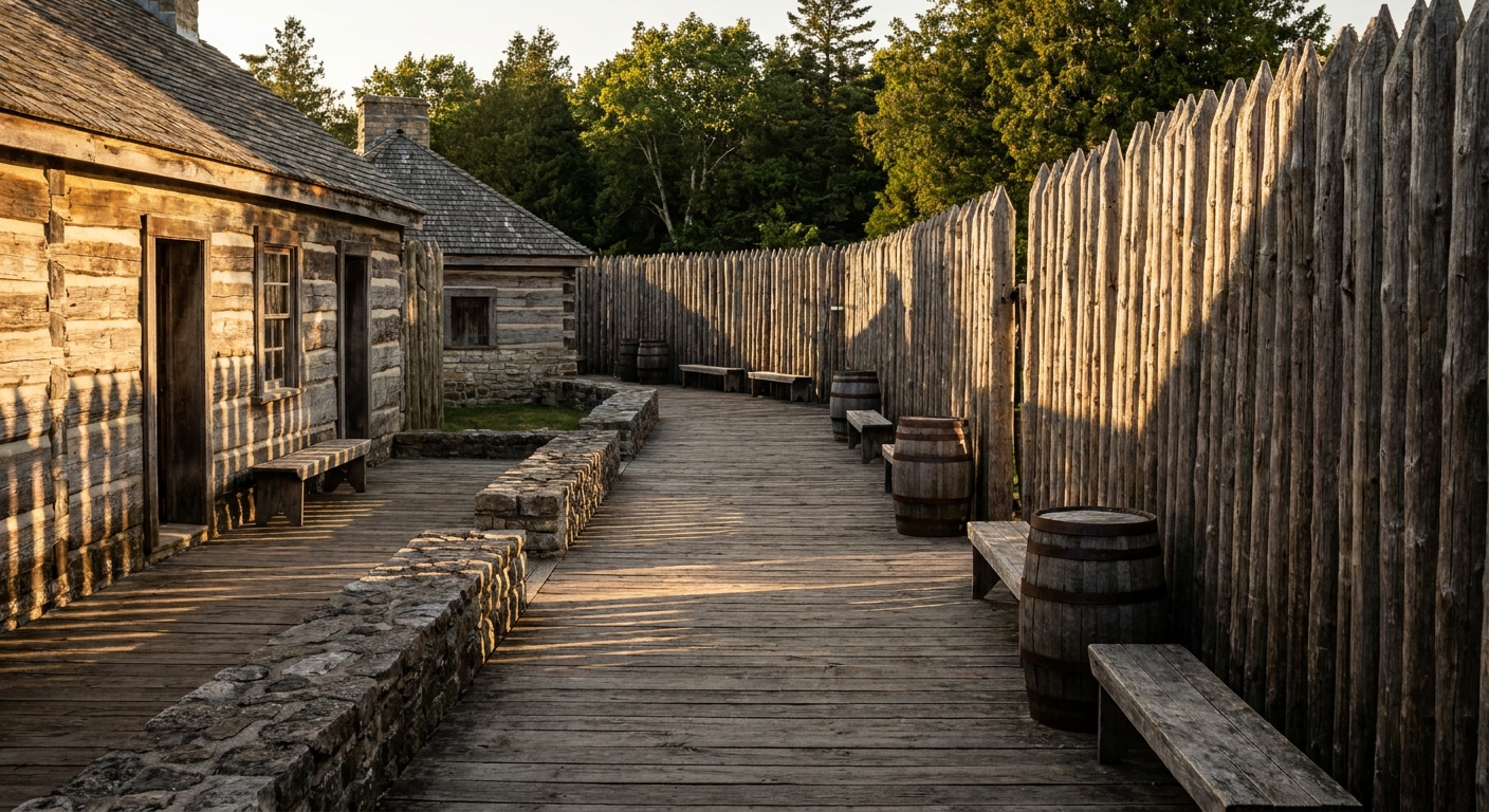
Fort Mackinac sits high for a reason. Elevation is authority. In 1812, that bluff let you oversee the approaches to the straits and make your presence felt far beyond the palisade. To feel the War of 1812 here, slow down and build your route around positions, not exhibits.
1) The bluff edge: feel the mismatch
The July 1812 story clicks when you stand where the defenders would have felt the trap closing. The fort looks outward toward the water, but the real danger in that moment came from above, from heights that made the works inside the fort feel suddenly less useful. When I say it can feel like the cannon were pointed the wrong way, I mean it as a visitor’s gut-level metaphor: a fort can be strong on paper and still be vulnerable if the ground around it tells a different story.
2) The landward side: picture the dawn climb
Most first-time visitors orient themselves toward the postcard water view. Flip it. Put your attention on the landward approach and the terrain that would have carried men, guns, and panic. At a remote post like this, word of war did not move at the speed of certainty. The garrison had not reliably confirmed the declaration when the crisis arrived. Surprise here was not just tactics. It was distance and delay.
Stand where the slope forces you to breathe harder and ask yourself what “unprepared” looks like when you are the sentry and the threat is already in position.
3) Any outwork or earthwork you can read
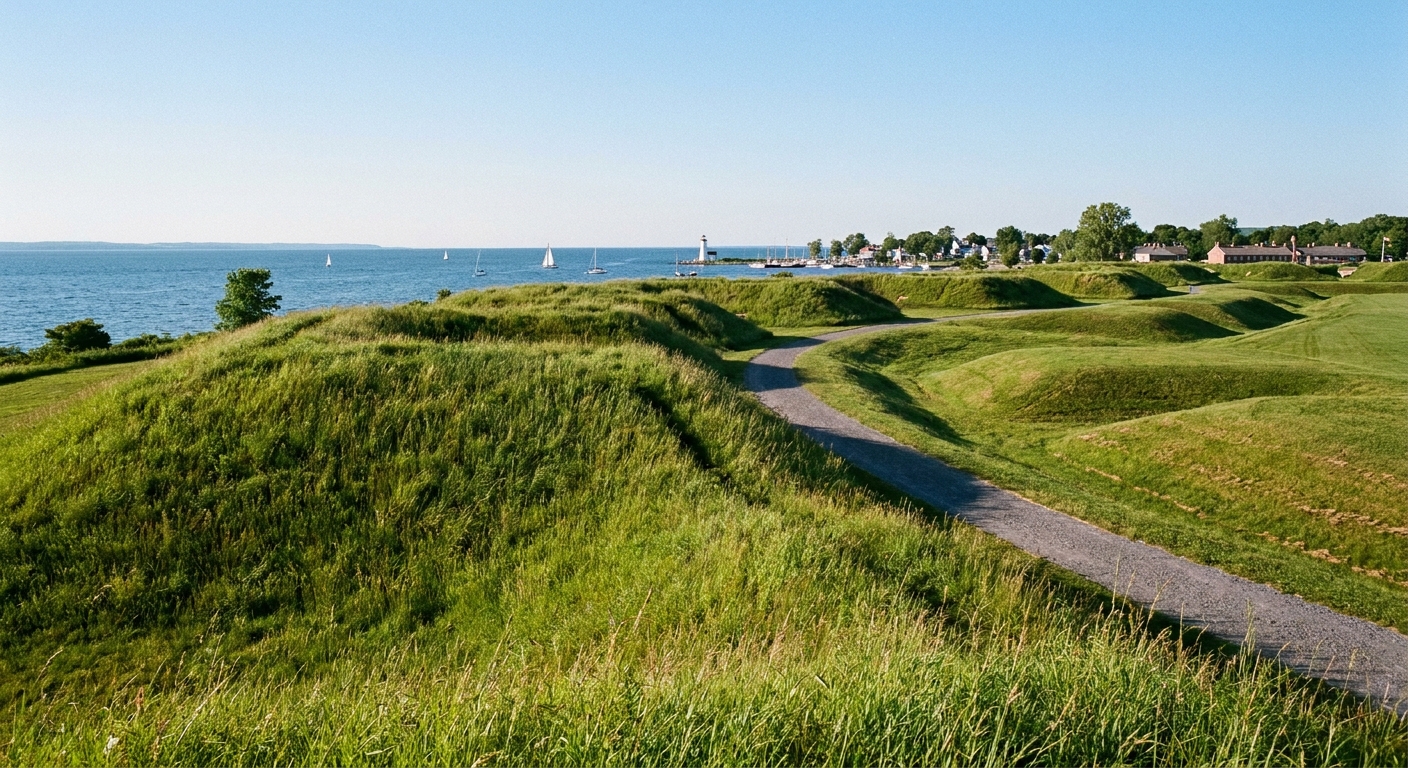
Outworks are easy to dismiss because they can look like simple earth and angle, especially to modern eyes trained on big stone forts. Do not just glance. Step off the main flow of foot traffic, face the angles, and trace the lines with your gaze. You are looking for fields of fire, dead ground, and how quickly the fort’s geometry stops making sense once an enemy takes higher ground.
If there is a marker for an outwork, read it, then do the more important thing: look where it tells you to look. Markers are only useful when you let them aim your eyes.
4) The parade ground edges
When the fort is busy, the parade ground becomes a stage. In wartime, it was a workspace: drill, fatigue duty, orders shouted into wind off the straits. I like to stand at the margin where the ground meets buildings and picture the mundane friction of garrison life. War is rarely constant shooting. It is waiting, repairing, rationing, and watching for boats that might carry supplies or bad news.
5) A supply-chain overlook
Pick one overlook and treat it like an 1812 logistics briefing. From up high, picture canoes and bateaux, then larger vessels, then the human system behind them: traders, interpreters, laborers, families, and diplomatic relationships that made goods move. This is where the fur trade story clicks. The fort did not just guard a place. It guarded a network.
What changed after 1812
It helps to leave with one plain consequence. Once the British held Mackinac, it became a pivot for influence in the upper Great Lakes during the war: a place where alliances, trade goods, and military movement could be coordinated, and where American plans in the region had to account for a British-controlled node. Even if you do not memorize dates, you can feel the strategic math: whoever holds this kind of crossroads shapes who eats, who hears news first, and who can pressure communities on the water routes.
How to read markers well
Some markers are gold. Some are background noise. I use a quick filter when I read signage at any War of 1812 site, including Fort Mackinac:
- Does it name a unit, leader, or community? Specific names usually mean specific events and sources.
- Does it explain “why here”? Look for geography, trade routes, alliances, or supply lines, not just dates.
- Does it mention Indigenous nations or the fur trade economy? At Mackinac, those are not side notes. They are the engine.
- Does it connect 1812 to what came after? The best interpretation shows consequences, not just action.
When a marker is thin, I do not get mad at it. I treat it like a prompt. I take one sentence from it and test it against the landscape. “Surprise,” for example, is not a magic word. Surprise has a direction, a distance, and a timing. You can often read all three on the ground if you stop walking long enough.
Follow the fur trade thread
Mackinac’s fur trade history gets packaged as a sepia-toned adventure story, all voyageurs and canoes. The real impact is sharper. The fur trade shaped:
- Information flow: who heard rumors first, who carried news of war declarations, who could exploit delay.
- Supply and credit: who could provision a garrison, who could starve it, and who owed whom.
- Diplomacy and alliance: relationships that mattered more than a single cannon shot.
Here is a concrete way to keep it grounded as you move through the fort: every time you notice a military detail, match it to a civilian requirement you can visualize from this hill. If a gun fires, powder and shot got here somehow. If a sentry stands a watch, food got here somehow. If uniforms look tidy, cloth and credit got here somehow. The exercise keeps you honest, and it makes the fort feel less like a museum set and more like a working outpost on the edge of empires.
Timing and pacing tips
If you want to experience Fort Mackinac beyond the tourist traps, your best tool is not a special ticket. It is pacing. Also, be kind to your future knees: it is a real hill climb, and that is part of the story.
- Go early or late if you can: the fort changes when you can hear wind and footsteps instead of a crowd’s hum.
- Give yourself one slow hour: no rushing to the next thing. Let a position hold you until you understand why it exists.
- Take notes like a scout: a few lines in your phone about sightlines, slopes, and what you can see from where.
- Ask staff a pointed question: not “what should I see,” but “where would you stand to understand the 1812 surrender?” or “what feature do people miss that matters for the fur trade story?”
That last one works almost everywhere. I use the same approach at sites from Baltimore to the Canadian border. If you are building a longer 1812 travel year, our Battles Guide helps connect sites that make sense together.
Three quick anchors
I do not like reducing history to a timeline, but I do like carrying a few anchors so the story does not float away.
- War news traveled slowly. At far posts like Mackinac, delay could decide events before anyone felt properly “ready.”
- Great Lakes control was about movement, not just battles. Routes, portages, and relationships were strategic terrain.
- Fortifications are arguments. A fort is a statement of who expects to stay, who expects to trade, and who expects to command.
If you want a reminder of how differently forts performed when the shooting started, compare Mackinac in your mind with a place like Baltimore. The tactical problems are not the same, but the lesson is: defenses fail or succeed for reasons you can often walk right up to. See our deep dive here: Fort McHenry: Why the Bombardment Failed.
A pocket checklist
- From one overlook, identify the most dangerous high ground around the fort.
- Find one earthwork or defensive angle and trace its purpose with your eyes.
- Read one marker fully, then physically look in the direction it implies.
- Spend five minutes on supply: food, powder, trade goods, and who moved them.
- Leave with one consequence, not one photo: what shifted in the region when the fort changed hands?
Where to go next
If Fort Mackinac sparks the urge to chase connected stories across the Great Lakes and beyond, these are good next stops on the site:
- Historic Sites Guide for planning visits that still feel human, not like a checklist.
- Perry’s Shipyard Miracle Before Lake Erie for the Great Lakes logistics story in action.
- Plattsburgh’s Civilians in the Crossfire for what war looks like when regular people cannot step away from it.
- More from me, Josiah Harding, if you like this boots-on-the-ground approach.