
I have walked Detroit with a map in one hand and a stubborn hunch in the other, hunting for a war that most commuters never notice. Downtown can feel like pure modern motion: glass, traffic lights, the riverfront, the steady pull of Canada across the water. But in August 1812, this same ground tightened into a trap. General William Hull surrendered Detroit without a full-scale pitched battle, and the shock of it traveled fast. It changed the course of the war’s first year, but it also left a quieter legacy: civic land where military land once mattered, sightlines that still make the river feel like a corridor, and street geometry that can hint at older priorities if you know how to look.
This is how I trace Hull’s surrender in modern Detroit, on foot, without expecting a single “War of 1812” sign to do the work for you.
Start with the basics: Detroit was a fort town
When people say “Hull surrendered Detroit,” they are usually imagining a dramatic flag-lowering at a single iconic stockade. The reality is messier and more revealing. Detroit in 1812 was a town built around military space: an older French street pattern near the river, a fort just back from it, and open ground that could turn into killing ground if artillery found the right angle.
The fort most tied to the surrender is Fort Lernoult, often called Fort Detroit in American sources after the United States took possession in 1796. By 1812 it was the central defensive work, but it was not a stone citadel. Its strength depended on garrison morale, supply, and whether Hull believed he could hold out against British regulars, Canadian militia, and Indigenous allies, including warriors connected to leaders like Tecumseh.
If you carry that mental picture while you walk, modern Detroit starts to make sense. The trick is to stop looking for surviving ramparts and start looking for the habits of a fort town: where high ground mattered, where crossings mattered, and where an army would want to control movement.
What happened, quickly
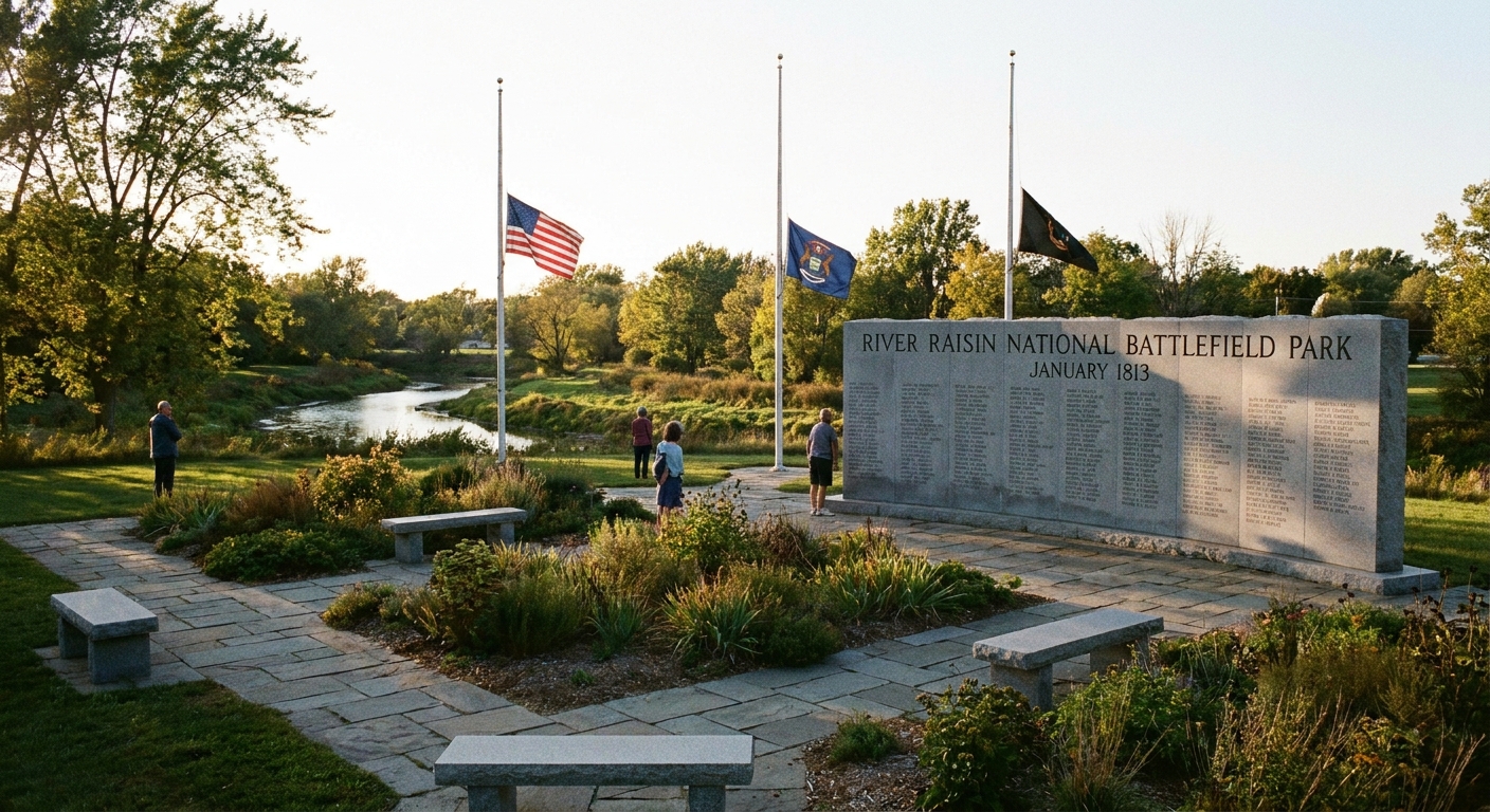
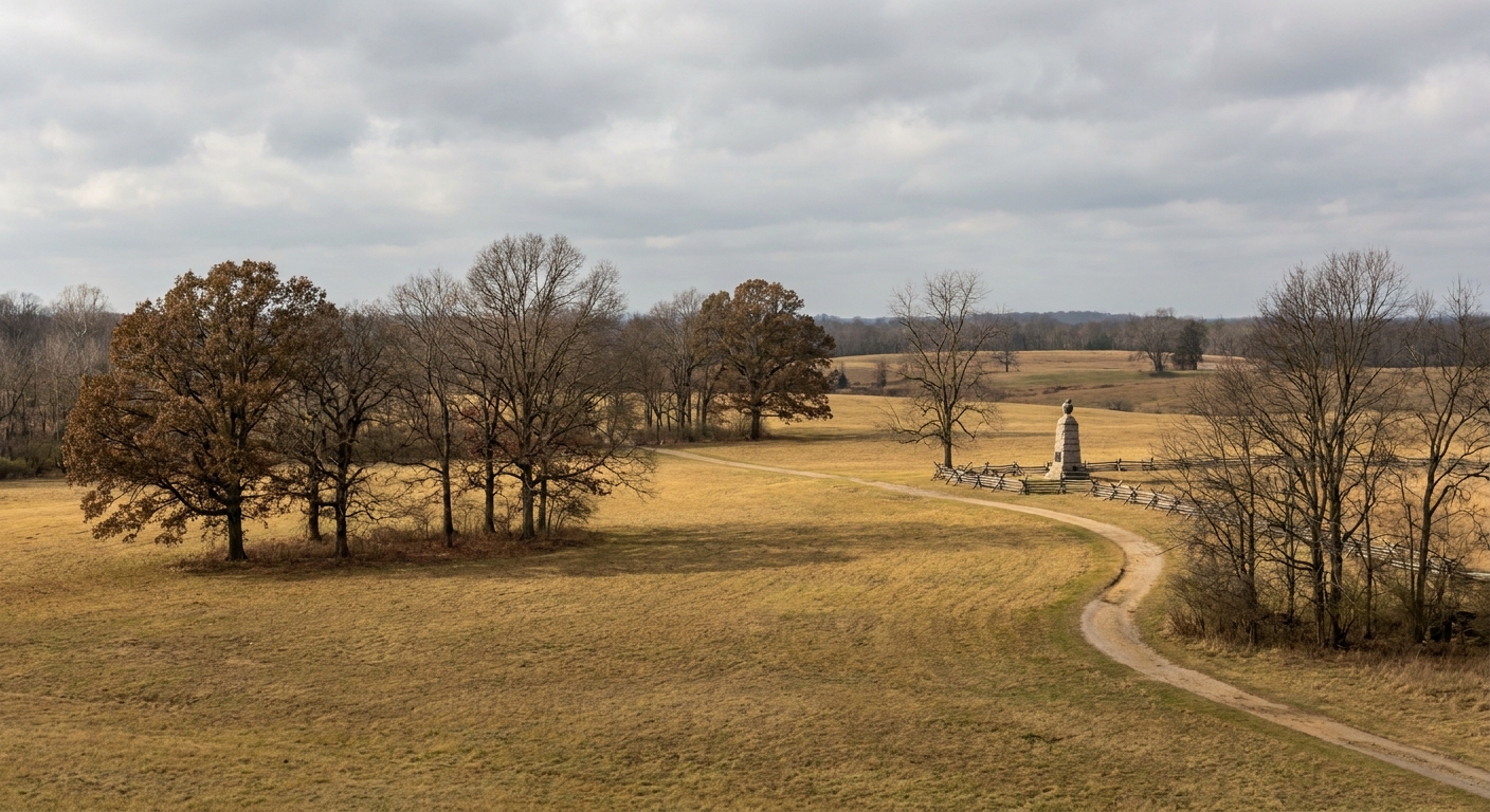
I keep this short on purpose, because the walk itself does the explaining. Hull crossed into Upper Canada in July 1812, then pulled back as his supply line and confidence frayed. There had already been sharp fighting on the approaches to Detroit, including the skirmishes at Brownstown and Maguaga, which did not help his nerves about supply and communication. In mid-August, Major General Isaac Brock arrived to take personal command on the British side. British batteries opened fire from the Sandwich side of the river, now part of Windsor, and the pressure felt immediate because the banks sit so close together. Brock also crossed to the Detroit side above town, and the presence of Indigenous allies amplified the sense that Detroit was surrounded. Hull, fearing for civilians as much as for his garrison, surrendered on August 16.
Stop 1: The Fort Lernoult area
Fort Lernoult did not survive as a preserved structure the way some later American forts did. Its ground was repurposed, cut by new streets, and folded into the civic heart of the city. That is exactly why it is worth visiting. You are not coming for intact ramparts. You are coming to feel how a military core became a municipal core.
Where I aim my walk: the broad downtown civic-center zone around today’s government and courthouse district, roughly north and west of Campus Martius. I treat it as a zone on purpose, not a neat outline. My usual rhythm is to start at Campus Martius, then drift toward the larger civic blocks that sit between Campus Martius and the area around Grand Circus Park, paying attention to how the city breathes differently as the streets widen and the blocks feel more institutional.
What to look for:
- Small elevation shifts. Even a modest rise matters in a river town. Fort builders read slope like a language.
- Cleared space and long views. Plazas and broad street runs can sometimes inherit the logic of older open ground, even if you cannot prove a straight line from 1812 to now.
- Edges that feel like boundaries. I pay attention to where tight commercial texture suddenly gives way to open lawns, big setbacks, and security-conscious architecture. That change in feeling is reproducible, even when the original fort’s lines are not.
Why this stop matters for Hull’s surrender: Hull’s decision was made in a place where civilians lived within earshot of cannon fire and within range of fear. Once pressure tightened and bombardment began, the fort-town relationship became a liability. A commander who doubts his supply line starts to see every open space as exposure.
Stop 2: Riverfront sightlines
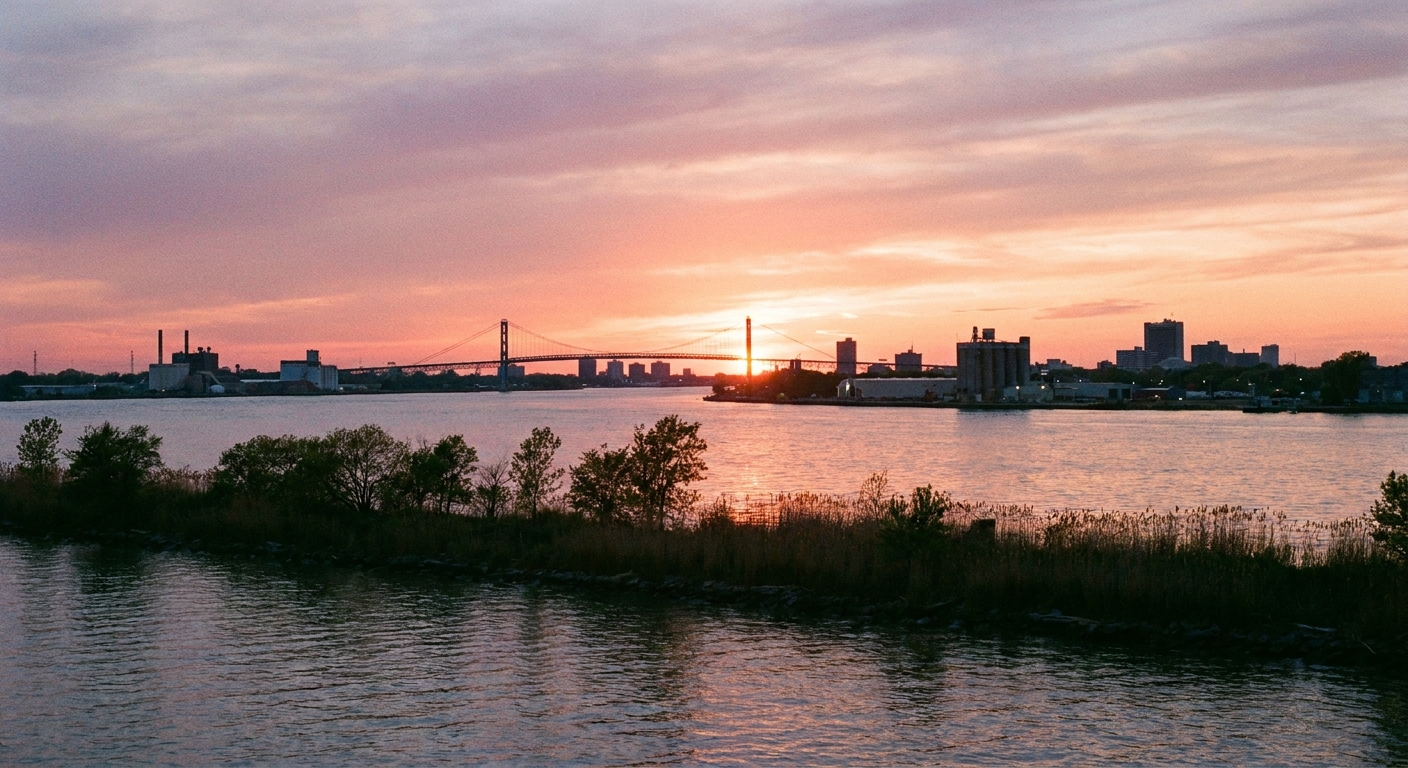
To understand why surrender could come so fast, you need to stand near the Detroit River and let the distances shrink. This is not an ocean gulf. It is a working corridor. In 1812, it moved men, guns, and messages. It also staged intimidation in full view of town.
Where I aim my walk: any public riverfront segment downtown where you can look across to Windsor. Choose an open view, then do one simple thing: pick a point on the opposite bank and hold your gaze there for a full minute. The closeness is the point.
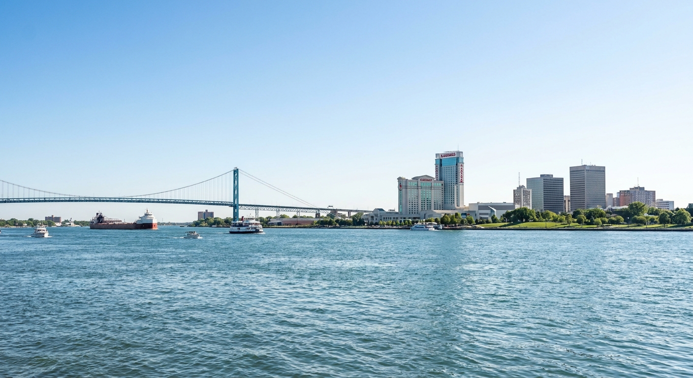
What to look for:
- Busy water and usable edges. Even now, you can tell where boats want to be, and where a shoreline invites landing.
- Angles that point into the city. Stand still and imagine how a few guns, placed well, could make the town feel exposed.
- Wind and current. On some days you can feel the river pushing. In small craft, that push becomes a plan or a mistake.
Why this stop matters for Hull’s surrender: one of the most effective weapons in 1812 was rumor made credible by geography. When the opposing bank is visible and active, every motion reads like an approaching blow. Hull faced anxious troops, an uncertain road back to Ohio, and a river that made the enemy feel immediate.
Stop 3: Think like a ferry
Modern Detroit thinks in bridges and tunnels. 1812 Detroit thought in boats. Historic crossings were rarely a single official spot. They were practical places where you could put a craft in the water, pull it out again, and connect roads on both sides.
Where I aim my walk: along the riverfront where you can get closest to the water and watch how people naturally drift toward access points. Wide promenades are pleasant, but I pay special attention to any place that feels like it could have been a working landing before the shoreline was engineered into straighter, harder lines.
What to look for:
- Gentle grades down toward the water. Wagons and carts prefer not getting stuck.
- Little pockets of calmer water. The best crossing point is often the least dramatic one.
- A clean connection inland. A landing only matters if it feeds a route away from the shoreline.
Why this stop matters for Hull’s surrender: Hull’s campaign began with confidence and a plan to push into Upper Canada. Confidence drains when the path behind you feels vulnerable. Read the river as a chain of possible landings and you start to see why commanders obsessed over controlling both banks.
Stop 4: Fort Wayne
If Fort Lernoult is the ghost, Fort Wayne is the city’s answer. Built later, with major construction beginning in the 1840s, it sits in Detroit as a reminder that the United States did not forget how exposed this river corridor could be. Fort Wayne is not “Hull’s fort,” but it is a descendant of Hull’s problem.
Where I aim my visit: Fort Wayne’s grounds when they are open to the public. Access can be seasonal and event-dependent, so I treat this stop as a bonus rather than a guarantee. When I do get in, I walk the perimeter first. It helps me feel the difference between an improvised frontier defense and a fortification meant to last.
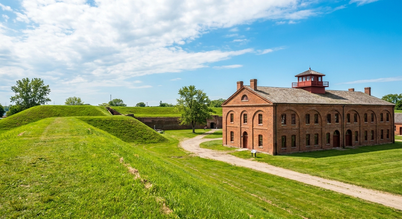
Why this stop matters for Hull’s surrender: the surrender’s legacy is not only controversy. It is institutional memory. Later defenses tell you the river was too important to leave to luck again.
For more site-focused, boots-on-the-ground planning, you can browse the broader coverage in our Historic Sites guide.
What I notice in today’s streets
You do not need a specialized map to feel 1812 under your feet. You need patience, and you need to accept that the clues are subtle.
1) Civic space can replace strategic space
Forts want clear ground, authority, and access. Cities want the same things for different reasons. When you are downtown and the streets open into imposing civic blocks, consider that you might be walking through land that once mattered for control and defense, even if the modern layout does not preserve a readable fort footprint.
2) The riverfront is chapter one
Detroit’s river is beautiful, but in 1812 it was also a weapon and a road. Every time you can see the opposite bank clearly, you are seeing what Hull could not ignore: threat and movement, a short boat ride away.
3) Old routes hide in modern turns
Even when the grid asserts itself, older paths persist as slight diagonals and corridors that feel inevitable. Military movement and civilian trade often shared the same tracks, which means wartime routes can echo in traffic patterns and pedestrian flow.
An afternoon walk
I like a walk that tells the story in order, even if the stops are approximate. Here is a sequence that keeps the narrative intact and stays practical on foot.
- Start near Campus Martius and drift toward the civic-center blocks, thinking of Fort Lernoult as the lost military center. Give yourself 20 to 30 minutes to move slowly and actually look.
- Walk down to the riverfront and spend at least 10 minutes on sightlines across to Windsor. Let the closeness do its work.
- Follow the shoreline for another 20 to 40 minutes while thinking like a ferry operator: where would you load, where would you land, where would you avoid being watched?
- Finish at Fort Wayne if it is open. If it is not, end your walk right on the riverfront with a long look across the water. The river is the argument in this story.
Distance and terrain: mostly flat, mostly pavement. If you keep it downtown and riverfront only, it can stay in the 2 to 3 mile range. If you add Fort Wayne, the day becomes longer and more transit-dependent, so I treat that as an optional extension rather than part of the core loop.
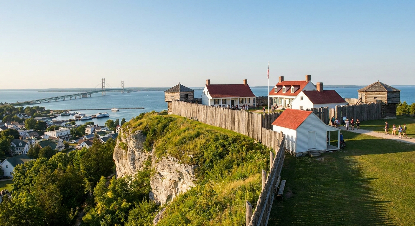
If Detroit’s 1812 story sends you looking for other Great Lakes places where water, supply, and psychology drove decisions as much as gunfire, I also recommend Fort Mackinac beyond the tourist traps.
What to bring
- A small notebook. I jot down street names where the city feels like it is following older logic.
- Binoculars or a camera zoom. Looking across the river becomes more than a metaphor when you can pick out details.
- Comfortable walking shoes. This is a pavement walk with long stretches between “aha” moments.
- A willingness to imagine civilians. Hull’s surrender was not only a military act. It was a decision made in a populated place, with families listening for the next shot.
The surrender in one sentence
The haunting part of Detroit’s 1812 story is not that a fort changed hands. It is how quickly ordinary life becomes leverage. Stand by the river, look at the opposite shore, and remember that in Hull’s Detroit, the distance between a kitchen table and a battlefield could be measured in the time it took a boat to cross.
If you want the larger war context around Detroit and the Great Lakes, our site-wide timeline guide is a good place to thread this surrender into what followed.