
I grew up in upstate New York with a grandfather who never walked past a forgotten marker without stopping. He would tap the weathered stone with his cane and say, quietly, “This is where the map changed.” As I got older and started tracing War of 1812 ground on my own, I realized the deepest map changes were not always the ones celebrated by monuments. For Native nations in the Old Northwest, the war years and the immediate peace that followed were less about flags changing on forts and more about land, hunger, diplomacy, and survival under rising pressure.
This timeline follows the chain from 1811 to 1817, not as a neat set of “events,” but as a progression: a confederacy fractures, allies make promises, war ends on paper, and then the treaty table keeps going. If you have already read our broader peace overview, pair this with the Treaty of Ghent timeline to see how quickly diplomatic language collided with realities on the frontier.
Why 1811 to 1817 matters
It is tempting to bracket Indigenous dispossession as something that happened “after” the War of 1812, as if peace arrived and then a separate story began. On the ground, it was one continuous pressure system. Tippecanoe in 1811 helped destabilize a fragile balance, the hinge war years ran from 1812 through 1814, and then 1815 through 1817 became the consolidation phase, when wartime upheaval hardened into postwar terms and signed cessions.
When I walk places like Detroit and the lower Maumee country, I try to picture not just marching columns but families moving with what they can carry, cornfields abandoned at the wrong season, and councils held under the practical question of the day: how do we keep our people fed and safe next month?
A quick note on geography: When I say “Old Northwest,” I mean much of the broad region that became Ohio, Indiana, Illinois, Michigan, and Wisconsin. It is the old Northwest Territory in motion, with borders being argued over on paper while people lived, hunted, planted, and traveled on the same ground.
Timeline: treaties and land loss (1811 to 1817)
November 1811: Tippecanoe shakes the ground
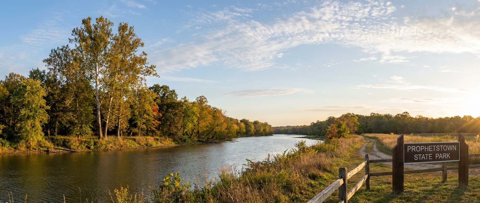
What happened: William Henry Harrison’s force fought warriors associated with Tenskwatawa (the Prophet) near Prophetstown in present-day Indiana, near today’s Battle Ground and the Tippecanoe River country. The immediate fight is often told as a prelude to 1812, but for Native diplomacy it was a rupture.
- Why it mattered for territory: Tippecanoe undermined the security of towns tied to the confederacy movement and intensified U.S. efforts to isolate leaders resisting land sales.
- Human reality: burned stores, displaced families, and a growing sense that neutral ground was disappearing.
For a walking route and context on the place itself, see Prophetstown and Tippecanoe Battlefield.
1812 to 1813: War spreads and choices narrow
What happened: With war declared, Native nations faced a brutal strategic dilemma. Some aligned with Britain hoping to halt U.S. settlement and defend territory. Others sought neutrality, or limited cooperation with the U.S., trying to avoid becoming the war’s battleground.
- Why it mattered for sovereignty: the war years forced choices under pressure, and those choices were later used as justification for punishment, exclusion from negotiations, or aggressive “peace” terms.
- Key pressure points: shifting control of supply lines, U.S. recovery after early setbacks, and British priorities that increasingly treated Native interests as negotiable.
To understand how the conflict’s violence intersected with civilian and community survival, I often recommend Life After Tecumseh as a bridge between wartime events and postwar realities.
October 1813: Tecumseh killed at the Thames
What happened: At the Battle of the Thames, Tecumseh was killed. The military result mattered, but the political result was seismic: a confederated resistance lost its most effective unifying voice.
- Why it mattered for land: without Tecumseh’s coalition-building, the U.S. could negotiate and pressure nations more separately, reducing collective leverage.
- Aftermath on the ground: fractured leadership, contested succession, and communities forced to decide whether to follow British retreats or attempt accommodation.
If you want to zoom in on the material side of that fight, including what weapons meant in close terrain, see Weapons of the Thames.
August 1814: Fort Jackson signals a wider pattern
What happened: In the wake of the Creek War, the Treaty of Fort Jackson imposed massive land cessions on the Creek Nation. The terms were imposed after a civil conflict inside the Nation and after U.S. military victory. They applied broadly, including to Creek communities that had been U.S.-aligned, and they took in land far beyond the Red Stick towns that had been labeled the enemy.
- Why it belongs here: while not Old Northwest geography, it signaled a policy pattern. “Peace” would be priced in acres, and demanded at scale.
- How it echoed north: it demonstrated how military victory could be converted into land claims even when local politics blurred the line between enemy, ally, and coerced neighbor.
For the longer story and aftermath, see Horseshoe Bend and the Creek Nation aftermath.
December 1814 to 1815: Ghent ends the war, not the pressure
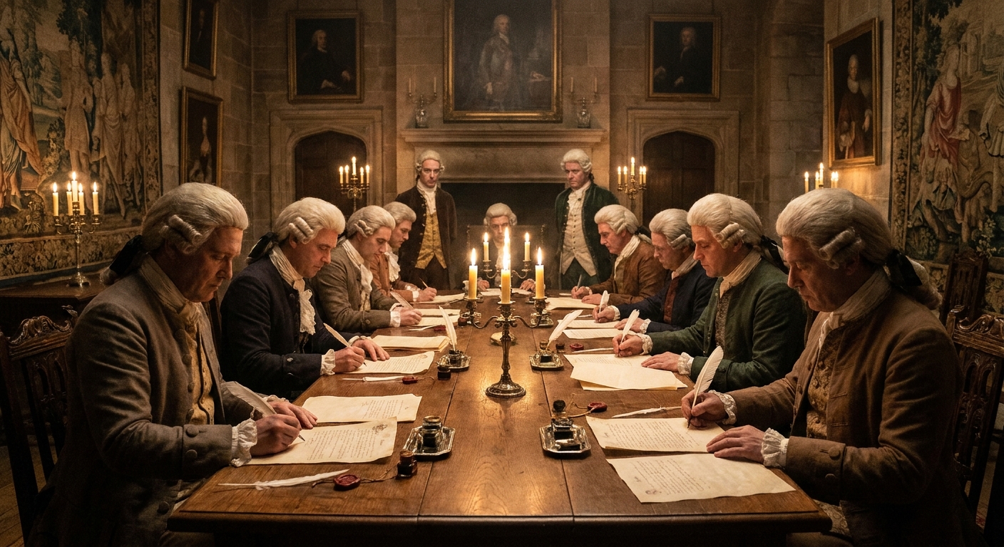
What happened: The Treaty of Ghent ended the war between the U.S. and Britain. In Article IX, the two governments committed to put an end to hostilities with the Native nations with whom they might be at war. They also committed, as far as may be practicable, to restore those nations to the possessions, rights, and privileges they had enjoyed, or been entitled to, in 1811.
- Why it mattered, and why it failed: the promise carried its own escape hatch. “As far as may be practicable” left room for nonperformance, and there was little enforcement behind the language. Earlier in the talks, British negotiators pressed for a protected Indigenous buffer zone. As negotiations moved, that demand softened and fell away, and peace went forward without a hard backstop for Native territorial security.
- The mismatch readers should notice: Native nations were not signatories at Ghent. Article IX was a commitment between the United States and Britain. It did not execute itself on the frontier. It was quickly overtaken by U.S. treaty practice that treated land and sovereignty as negotiable under pressure.
For the peace sequence in plain chronological form, see Treaty of Ghent timeline: when peace reached the front.
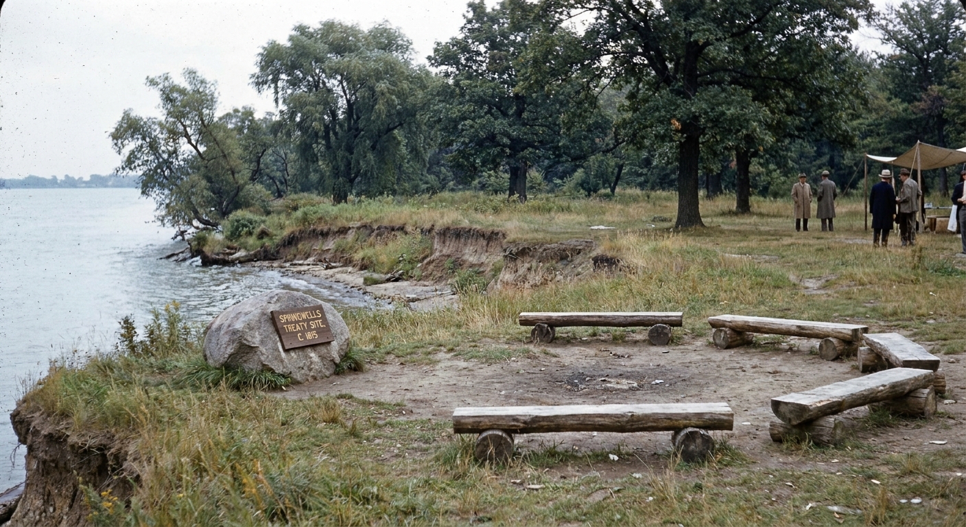
September 1815: Treaty of Spring Wells (Detroit area)
What happened: On September 8, 1815, U.S. officials concluded the Treaty of Spring Wells near Detroit with multiple Native nations from the Great Lakes and Old Northwest region.
- Who was involved: the council is commonly described as including communities such as the Wyandot, Delaware, Shawnee, Miami, and Potawatomi, along with other Great Lakes nations tied together by the same river roads and portages armies had fought over.
- Why it mattered for land: it reasserted U.S. authority in a corridor where wartime allegiance had been tangled and coerced. Even when it did not read like an immediate land cession, it shaped the postwar terms of recognition. It also set the tone for later negotiations, including who would be treated as “friendly,” and who would be handled as a defeated party.
- Human reality: coming out of disrupted harvests and dislocation, “peace” could land as an ultimatum. Agree now, or face isolation, hunger, and the threat of force in a landscape already filling with squatters.
1815: Portage des Sioux and a cluster of peaces
What happened: In 1815, U.S. commissioners met at Portage des Sioux on the Mississippi River and concluded multiple separate agreements with Native nations. In practice, it was not one single “treaty moment” but a cluster of councils and treaties, often framed as peace and as reaffirmations of earlier understandings.
- Why it mattered: it shows the wider postwar pattern. Washington’s priority was stabilizing a long frontier arc and shutting the door on renewed British influence through alliance.
- What reaffirmation did: it tightened the paper trail. When boundaries were contested or ignored in practice, reaffirmation strengthened U.S. claims and made the next demand sound like a continuation of an old bargain, not a fresh taking.
- What it became: many councils that read as “peace” on paper functioned as gateways, setting terms that made later land cessions and enforcement easier to press through.
- One caution: these agreements did not all work the same way for every nation. Local conditions, internal divisions, and distance from U.S. garrisons shaped what “peace” meant, and what it cost.
1816: Indiana statehood speeds up the machinery
What happened: Indiana entered the Union in 1816. Statehood sounds like paperwork, but on the frontier it changed the pace.
- Why it mattered for territory: statehood amplified settler demands, strengthened local courts and surveying, and increased political pressure to extinguish Native title.
- On the ground: more lines in the woods, more fences, and fewer places where a hunting party could travel without crossing someone’s “improvement.”
Late 1816: Indiana treaties tighten the screws
What happened: In late 1816, U.S. officials concluded additional treaty agreements in Indiana that pushed the boundary of settlement outward. Depending on the council, different communities were drawn in, and the effect was consistent: more land opened to survey and settlement.
- Why it mattered for land: these treaties accelerated the conversion of wartime disruption into permanent boundary change, expanding the area where U.S. claims could be mapped, sold, and enforced.
- Human reality: treaty councils did not happen in a vacuum. When communities were coming out of hunger, displacement, and fractured alliances, “agreement” could be the least dangerous option on the table.
1817: Councils along the Maumee and Sandusky
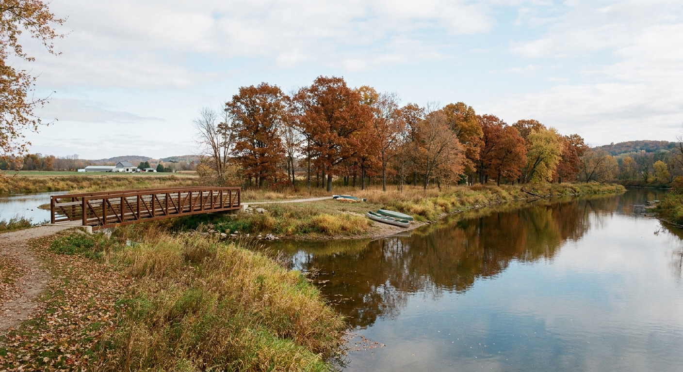
What happened: By 1817, the postwar pattern was established: council after council under unequal power, with land and sovereignty negotiated under the immediate strain of hunger, debt, and crowding. In the Maumee and Sandusky corridors, U.S. officials used familiar meeting grounds near garrisons and river roads to press for “peace” and to clarify who would be recognized as having standing at the table.
- Why it mattered: those corridors had already been fought over and garrisoned. Treaty-making there was a way to convert military presence into long-term control, making “peace” feel like permanence.
- Names can mislead: when you see “Seneca” in Ohio contexts, it can refer to the Seneca of the Sandusky region, a community whose name is easy to confuse with the Haudenosaunee Seneca farther east. Those labels mattered because they shaped who outsiders believed had authority, and who could be pressured.
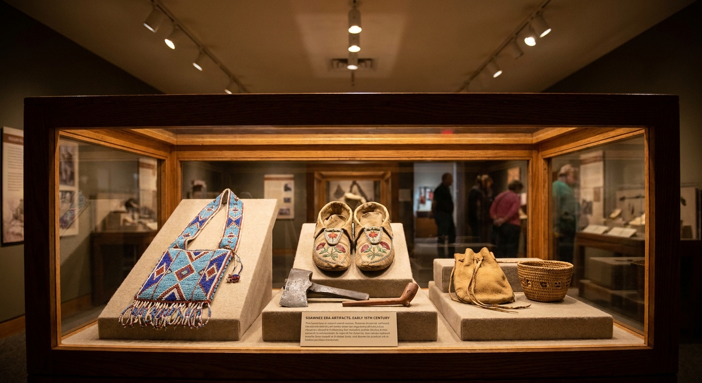
- What “loss” looked like: not only acres. It was access to sugar bushes and fishing places, control of trade routes, and the slow erosion of political independence as agents and annuities became leverage.
How to read treaties like a human
I have spent enough evenings squinting at treaty language to know how it tries to lull you. It is all “cessions” and “considerations,” like land is a bolt of cloth being measured on a counter. When you read, try three questions that keep the people in the room:
- Who was hungry? Failed harvests, wartime displacement, and the collapse of wartime supply could force concessions that look “voluntary” on paper.
- Who spoke for whom? Some councils included contested representation, internal factional splits, or leaders under intense coercion.
- What was already happening on the land? Squatters, surveys, and militia forts often came first. A treaty then arrived to make the takeover look orderly.
Places where change is visible
If you want to feel this history, not just learn it, go where the negotiations and conflicts pinched hardest. A few starting points on this site:
- General Hull’s surrender walk in Detroit, for the uneasy early-war atmosphere that shaped later “peace” terms.
- River Raisin National Battlefield Park, where wartime trauma and frontier retaliation cycles influenced postwar bargaining.
- Sackets Harbor battlefield walking guide, for a reminder that supply, shipbuilding, and control of corridors had downstream impacts far beyond any single fort.
What shifted from 1811 to 1817
By the time you reach 1817, a clear progression has set in.
- Collective resistance weakened: the loss of key leaders and the strain of war made unified bargaining harder.
- British leverage faded: once British negotiators let the buffer-territory push fall away during the Ghent talks, Native nations had less external leverage to hold lines in later councils.
- Frontier “peace” became paperwork: councils and treaties increasingly served to normalize settlement already underway.
- Sovereignty narrowed: even where communities retained lands, terms often increased dependence through annuities, agents, and restricted movement.
And if this timeline feels unfinished, that is because it is. The patterns set by 1816 and 1817 did not stop at the next winter line. They carried into the next round of treaties and cessions, pushing the frontier farther and tightening the same screws.
If you want to keep following the story beyond 1817, I recommend staying grounded in place and people. Our Timeline guide is the best jumping-off point, and the People guide helps you track leaders, soldiers, and civilians who keep appearing across the years.