
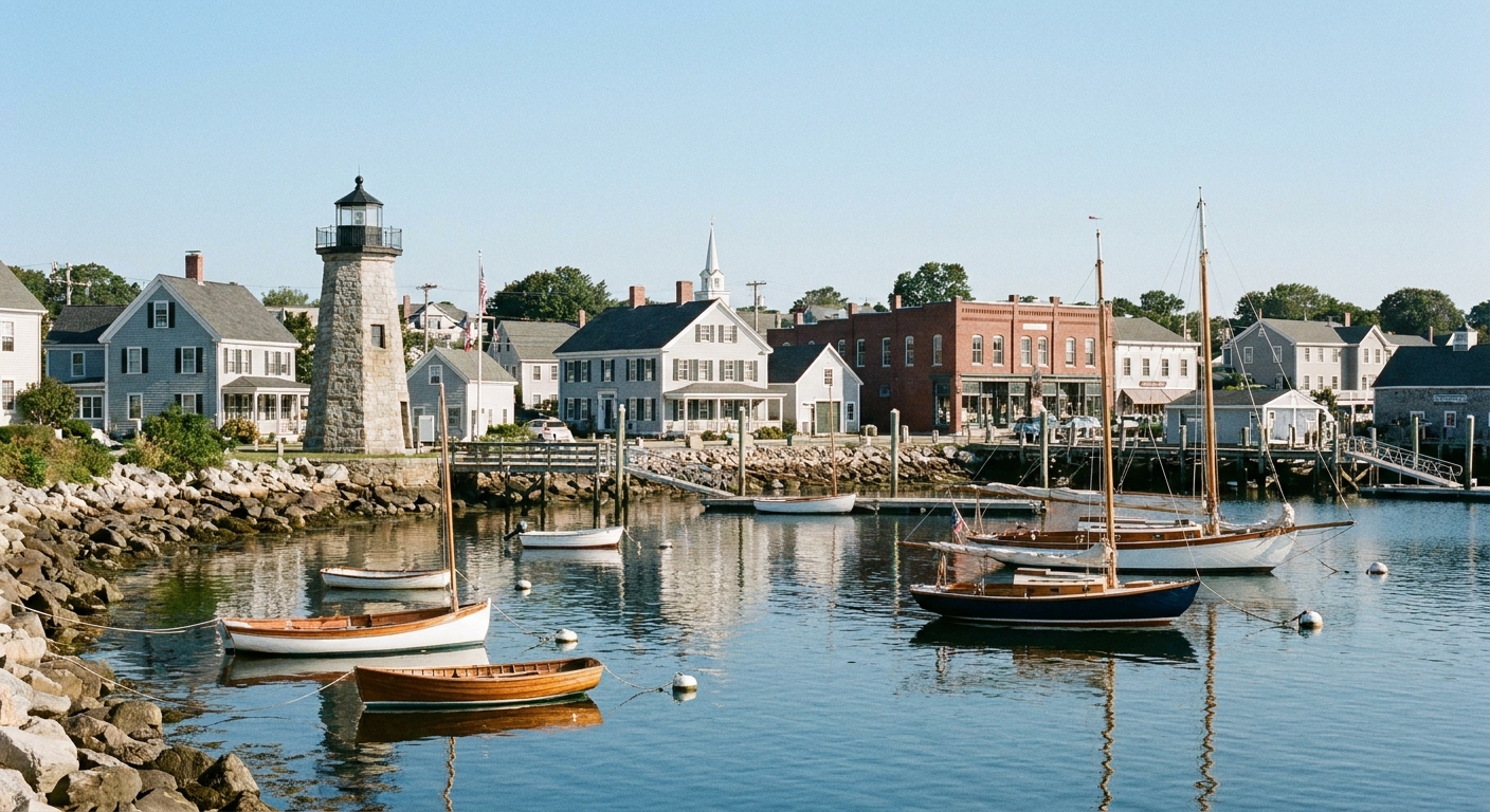
I have walked a lot of War of 1812 ground where the story is written in earthworks and headstones. Stonington Borough is different. Here, the war is still lodged in the everyday fabric of town, literally. You can stroll past tidy, sea-weathered houses and find cannonballs still embedded in old walls and foundations, stuck there since British warships bombarded the borough in August 1814.
This self-guided walk is built for ordinary shoes and curious eyes. No museum ticket required, just a willingness to slow down and imagine what it felt like when a small community, short on soldiers and long on nerve, refused to be shelled into surrender.
Before you start
Distance and time: about 1 to 1.5 miles round trip, depending on detours, and 60 to 90 minutes at a relaxed pace.
Terrain: mostly flat sidewalks and quiet streets. Expect curbs, a few uneven patches, and short stretches near the waterfront that can be breezy and exposed.
Good to bring: water, a camera with zoom for details in masonry, and a little patience. Some of the best “you are standing in it” evidence is small and easy to walk right past.
- Respect private property. Several cannonball scars are visible from public sidewalks. Enjoy them from the street.
- Do not touch or pry at embedded shot. They are part of fragile historic fabric.
- Best light: early morning or late afternoon, when shadows make dents, patched brickwork, and iron shot stand out.
Restrooms and water: this is a small, lived-in borough. Plan like you would for any compact walking town: bring water, and assume facilities are limited unless you are stopping at a business.
If you like doing your exploring with other site walks open in a tab, my walking route for another “town as battlefield” experience is here: Battle of York walking route.
Quick context
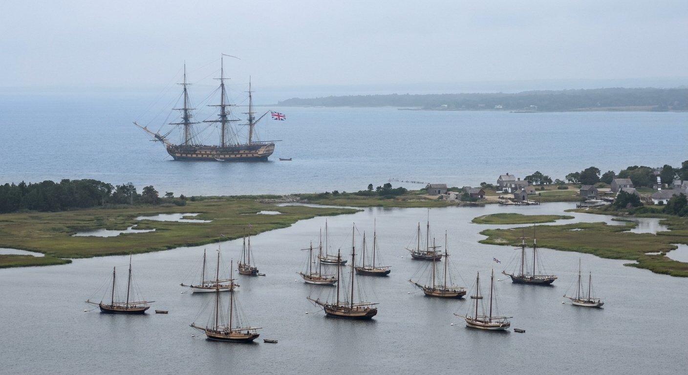
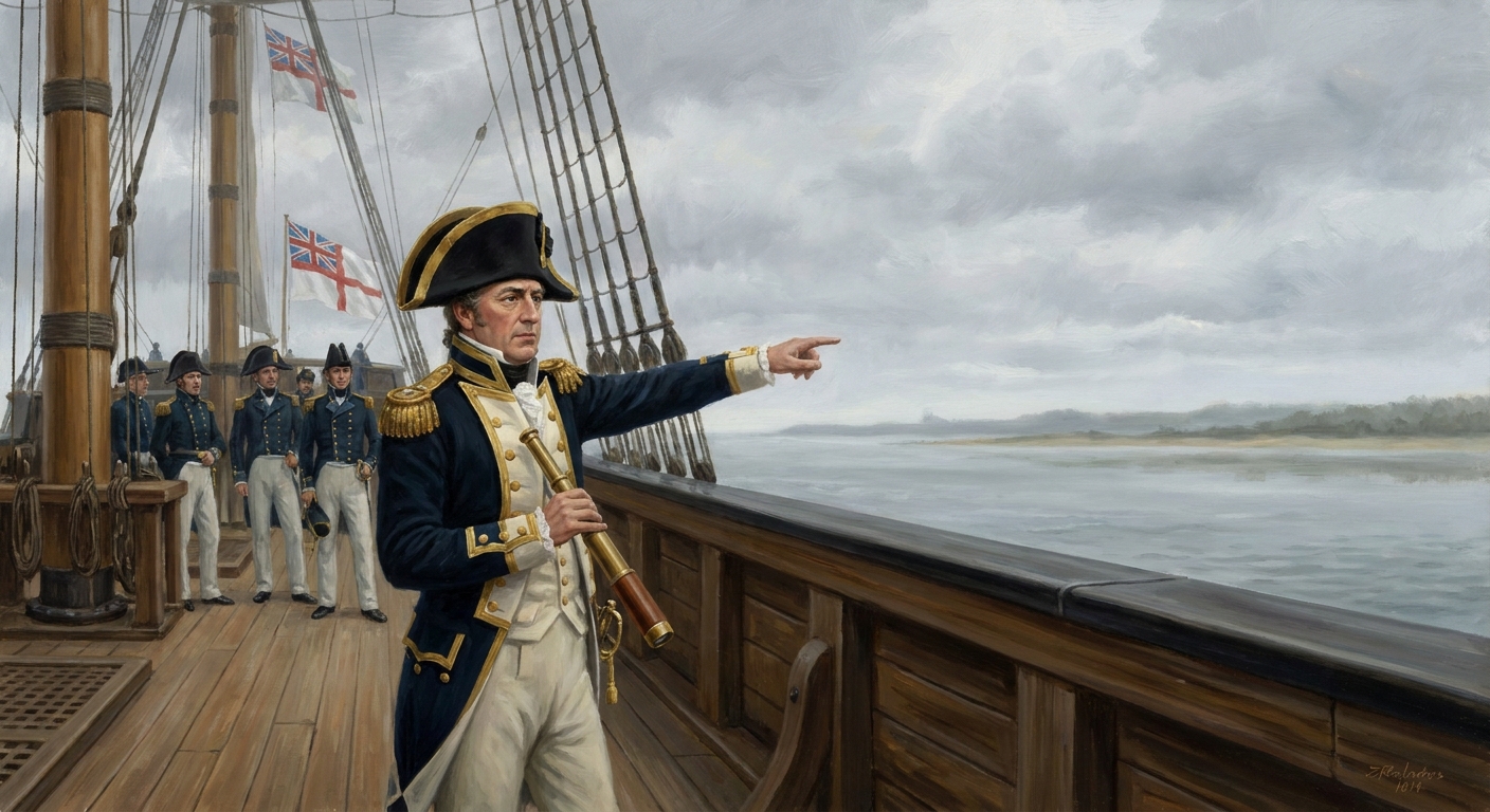
In August 1814, British naval forces carried the war hard against the American coast. Raids, blockades, and bombardments were meant to pressure port communities, disrupt coastal trade, and remind people what sea power could do. Stonington was small, but it sat out on a point with a working harbor and a long view of the Sound.
The bombardment lasted for days, and it left a strange kind of evidence. Not just stories in archives, but iron shot still lodged in masonry. The overall outcome was what locals have remembered ever since: the borough took punishment, answered back, and did not give the attackers the neat surrender they wanted.
On the ground, a defense like this is never just about the men at the guns. It is also about the people who keep ammunition moving, manage damage, and make sure panic does not become the loudest voice in town.
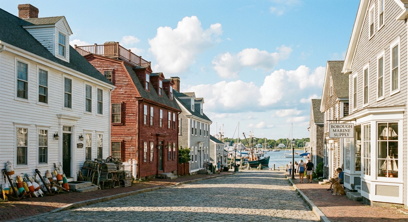
The self-guided route
Starting point: Stonington Point at the tip of the borough, where the harbor opens to the Sound and you can orient yourself to the angles of fire. From here, you will loop through the Point and nearby streets, scanning for embedded shot and taking in the waterfront positions that mattered in 1814.
Easy wayfinding note: if you keep the water on your right for the first stretch at the Point, then cut back through the residential streets, you will naturally make a loop that brings you back to the harbor views.
Stop 1: The Point
Begin by facing the water and taking a slow look across the harbor mouth. In 1814, this view mattered for one blunt reason: it told defenders where ships could sit to fire, how close they could safely come in, and what arcs their guns could manage. Even now, you can read the logic of a bombardment by studying the open water versus the tighter channels.
- What to look for: the relationship between open water and shelter, and how a ship would try to hold position while firing.
- Try this: pick one prominent shoreline building and imagine the straight line from ship to roofline. Then shift a few steps and see how quickly the geometry changes.
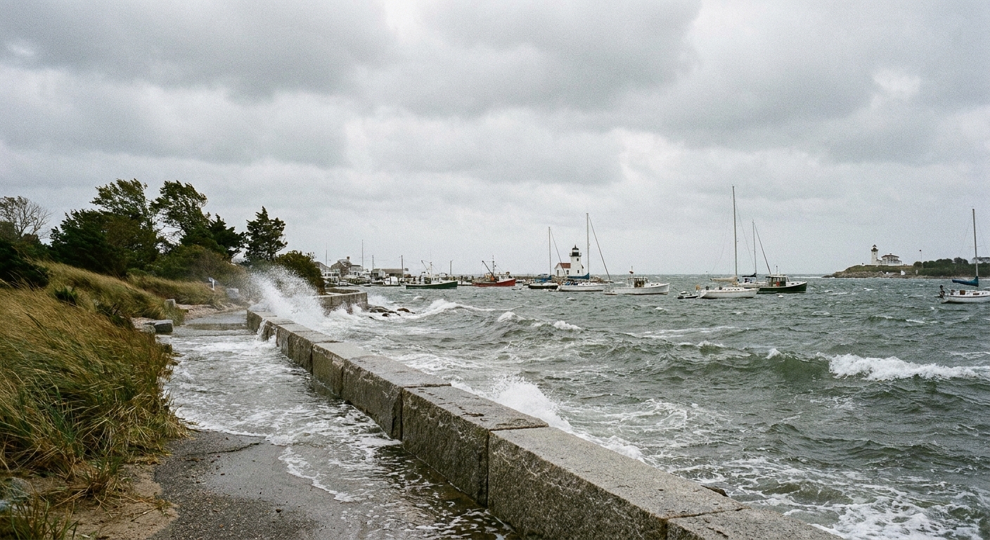
Stop 2: Waterfront sightlines
Walk along the Point-side streets and public waterfront edges and think like a defender for a minute. Stonington was not a stone fort bristling with cannon. It was a community that had to make do, concentrate fire, and keep calm while buildings shook. As you walk, pay attention to places where you can see a clean line to the harbor, a place where a gun could be worked without being completely exposed.
- What to look for: open sightlines, firm ground, and nearby structures that could shelter people and supplies.
- Detail that helps: a civilian defense is as much about logistics as bravery. Somebody always has to carry the next round.
Stop 3: Embedded shot hunt
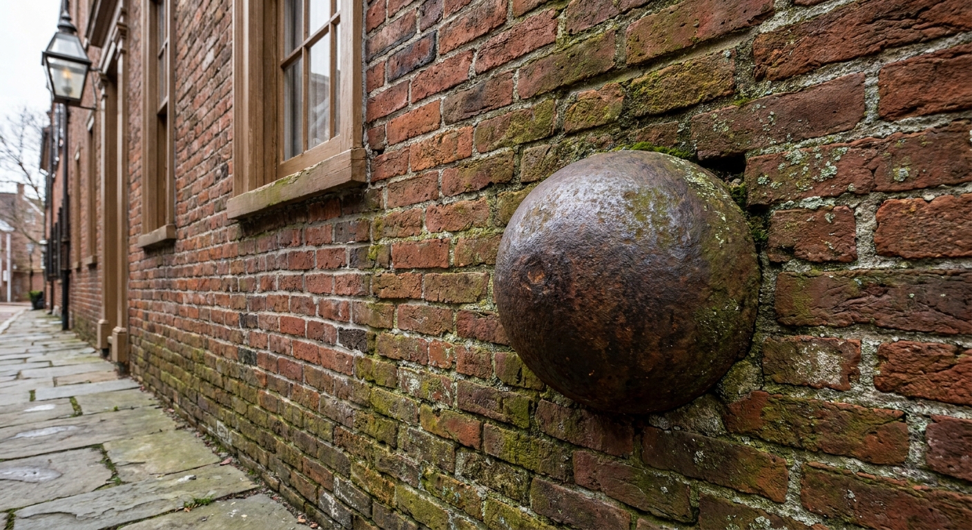
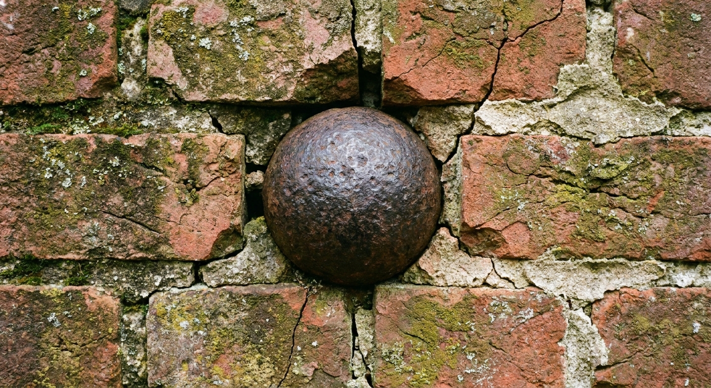
Now slow your pace and start scanning older walls and foundations as you move through the borough streets near the Point. Stonington’s most famous physical survivors are the cannonballs and other iron shot that never came back out. You will sometimes hear them called “18-pounders” in local tradition, and some may well be solid shot in that general range. On a walk like this, what you can say with confidence is simpler and better: this is old iron, stuck in old masonry, in a town that was bombarded from the water.
How to spot them like a pro:
- Look low first. Many are near foundation level, where an incoming shot struck and buried itself.
- Watch for patched textures. Fresh mortar around older brick is a clue to “something happened here.”
- Use angled light. When the sun is low, the shadow around a sphere pops out.
- Think about direction. If you know where the water is, you can guess which faces of buildings were exposed to fire.
Take your time here. This is the heart of the walk. It is also the part that makes the story feel less like legend and more like physics, iron, and luck.
Stop 4: Homes and hard choices
Continue through the residential streets, lingering near the oldest-looking structures. Even when you do not see embedded shot, you are walking through a borough that endured nights of explosive force, broken glass, splintering clapboards, and the constant decision of whether to flee or stay.
The civilian side of the War of 1812 often gets reduced to “they were scared.” In Stonington, the better word is “busy.” Busy keeping watch, busy moving valuables, busy putting out small fires before they became a wind-driven catastrophe.
- What to look for: thick chimneys, older rooflines, and tightly clustered buildings that show how easily fire could have spread.
- Pause point: pick a quiet corner and listen. In a town like this, silence is what comes after a story, not what came before it.

Stop 5: Back to the harbor
Loop back toward the water and look out again. From the ship’s perspective, Stonington was a target with limited military payoff but real psychological value. From the borough’s perspective, the ships were powerful but not all-knowing. Smoke, shifting wind, the difficulty of holding an exact firing line, and the stubbornness of defenders all mattered. Coastal bombardment is loud, dramatic, and surprisingly uncertain.
This is a good place to reflect on what “miraculous” meant in 1814. It did not mean untouched. It meant not broken in the way the attacker intended.
What you are seeing
When Stonington stories mention “18-pounders,” they are usually talking about a gun category defined by the weight of solid iron shot it fired, roughly 18 pounds. That weight matters because it hints at the energy involved. Even without a direct hit on a person, an iron ball could punch through walls, collapse chimneys, and turn brick fragments into lethal shrapnel.
On this walk, you may be looking at solid shot, and you may also hear locals mention shells and other projectiles. Either way, when you find an embedded ball today, you are seeing the end of a violent equation: angle, distance, powder charge, wind, and chance. The fact that some iron stayed lodged, rather than passing through, is part of why you can still read the event in the architecture.
Details most miss
- Repaired surfaces. In old coastal towns, repairs happen for many reasons, but bombardment-era stabilization often looks practical rather than pretty.
- Lines of sight. Stand where a defender might have stood and note how many angles are blocked by roofs, trees, and bends in the street.
- Sound and wind. Stonington’s waterfront wind is not just scenic. In a bombardment, wind direction influences smoke, visibility, and even how well shouted commands carry.
- Distance illusion. Water makes distances deceptive. A ship that looks “not that far” can still be far enough away to make accurate fire difficult.
For another angle on how naval power and shore defenses collided across the war, see: 5 naval actions that changed the War of 1812.
Practical notes
Parking and pacing
Stonington Borough is compact. Park once, walk slowly, and let the story come to you. If you are traveling with kids, this route works well because the “find the cannonball” game gives them a mission.
Photography etiquette
Many of the most compelling details are on private homes. Photograph from public ways, avoid stepping onto lawns or porches, and keep faces and license plates out of frame when possible. You will still come away with excellent documentation shots of masonry and street context.
Weather
Coastal weather turns fast. A clear summer morning can become a windy, salt-stinging afternoon. Bring a light layer even when the inland forecast feels confident.
FAQ
Are the cannonballs really from 1814?
Stonington’s embedded shot is part of long local memory tied to the August 1814 bombardment. Individual houses may have their own documentation and traditions. The best way to evaluate a specific “that one is from the bombardment” claim is to look for consistent clues: old masonry facing the harbor approaches, repeated local labeling over generations, and any nearby plaque or interpretive signage you can read from the sidewalk. When in doubt, treat the iron as what it plainly is: a physical scar that fits the known event, even if you cannot name the exact gun that fired it.
Is this tour good year-round?
Yes, with common sense. Winter brings wind and early darkness, and icy sidewalks can make slow scanning difficult. Spring and fall are my favorites for visibility and comfort.
How does Stonington compare to bigger bombardment sites?
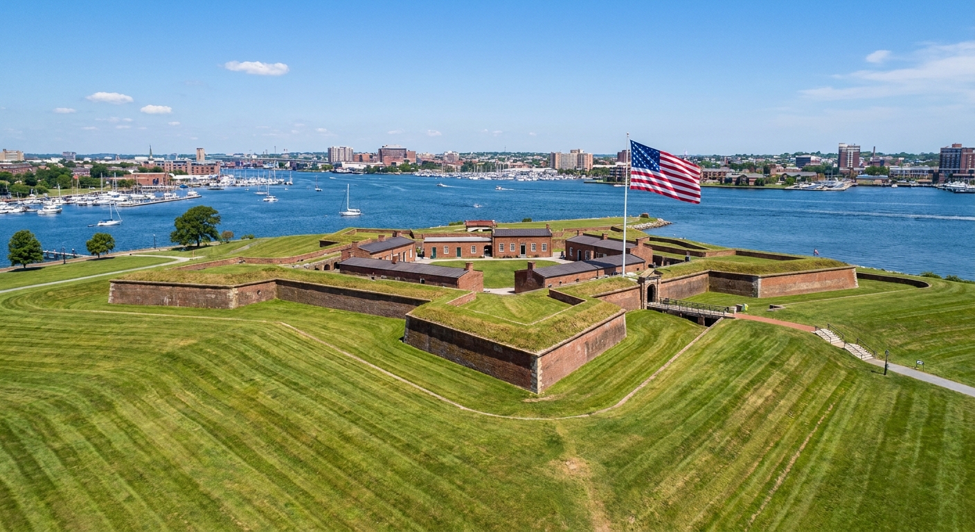
If Fort McHenry is the story of a formal fort absorbing punishment without surrender, Stonington is the story of a town doing something similar with far fewer built advantages. If you want that “fort under fire” perspective after Stonington, I recommend: Fort McHenry: why the bombardment failed.
A last look
When I was a kid in upstate New York, my grandfather taught me to look for the small stuff: an odd mound in a field, a stone that did not match the others, a rust stain where iron once sat. Stonington rewards that kind of looking. The borough does not just tell you it was bombarded. It shows you, quietly, in iron spheres that never left and in streets that still trace the edge of a very old shoreline defense.
Walk it slowly. Let the cannonballs do what they have been doing for two centuries. Let them make the past feel physical.