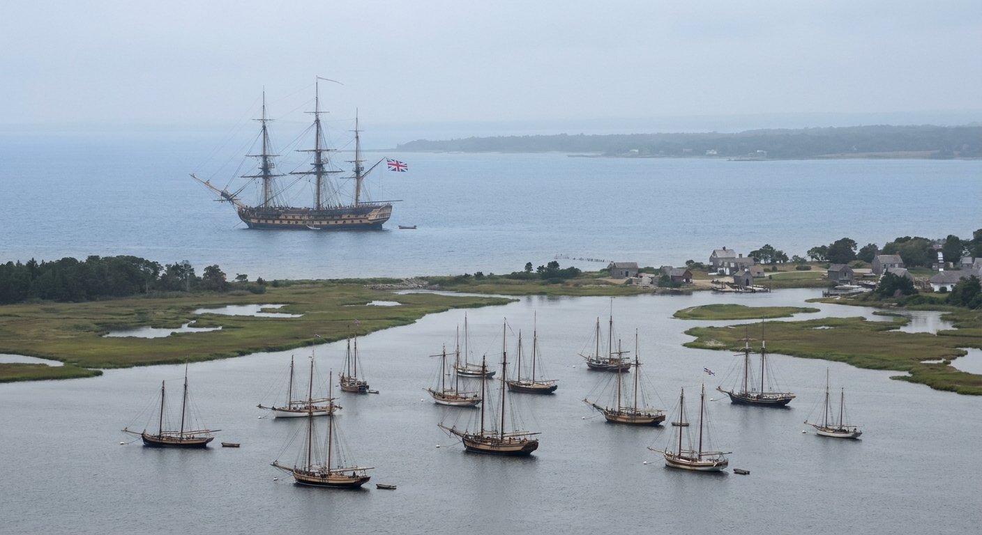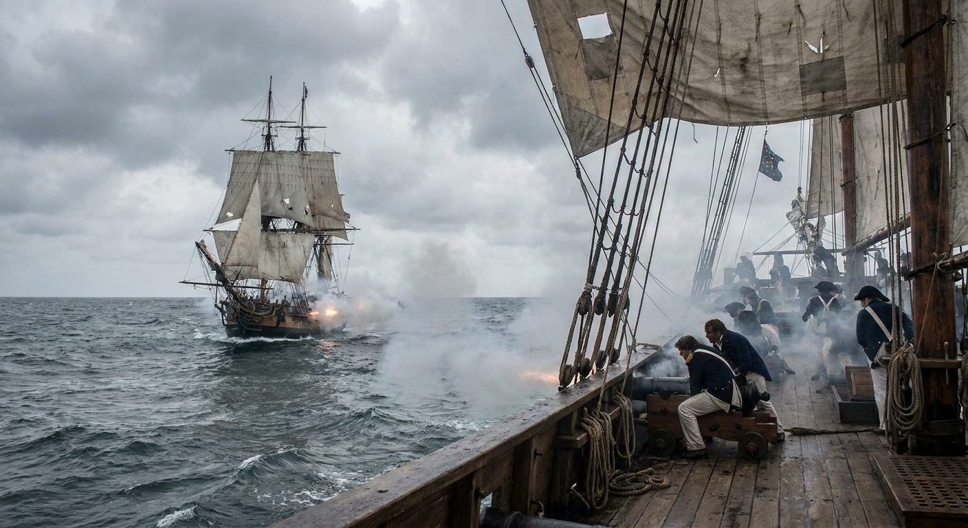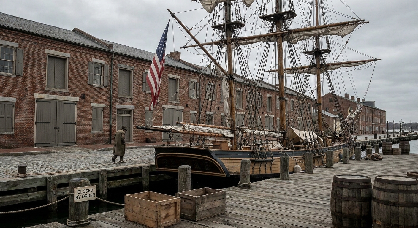

On the New England coast, the War of 1812 did not always arrive with a clean battlefield and a formal surrender. Sometimes it came as a rumor carried into harbor on a wind that smelled of salt and tar. Sometimes it came as a British sail on the horizon, followed by the hard math of blockade and rising prices. When I walk these old forts today, I think about the people who lived within earshot of the surf, trying to decide whether the next boom would be thunder or a naval gun.
The good news for modern travelers is that a surprising number of coastal fortifications survived, some as intact masonry works, others as earlier earthworks rebuilt and reimagined through later wars. They are imperfect time capsules, but they still do what they were built to do: make you look seaward and imagine danger arriving by water.
Before you go: what you are really looking at
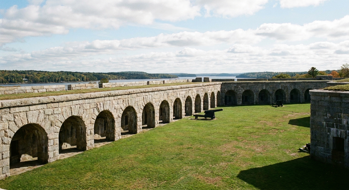
A quick orientation makes these sites far more vivid. During the War of 1812, the U.S. was still stitching together its coastal defense network. Some New England positions were purpose-built forts. Others were older Revolutionary War works pressed back into service. And many of the “stone forts” you visit now were built later, but on ground chosen and justified by the War of 1812 era threat: raids, privateers, and a British blockade that could squeeze a port until it hurt.
- Look for fields of fire: why the guns faced a particular channel or headland.
- Notice logistics: powder magazines, cisterns, ovens, barracks, and boat landings. A fort is a little town built to endure stress.
- Ask the civilian question: what did this place protect? A shipyard, a fishery, a customs house, a road, a river mouth, a warehouse district?
Practical note that matters more than people admit: hours and access can shift by season at coastal sites, especially islands. I always check current status before I build a day around a ferry or a gate.
If you want more places to add around these forts, I keep an evolving list in the site’s Historic Sites guide.
1) Fort Knox (Prospect, Maine)
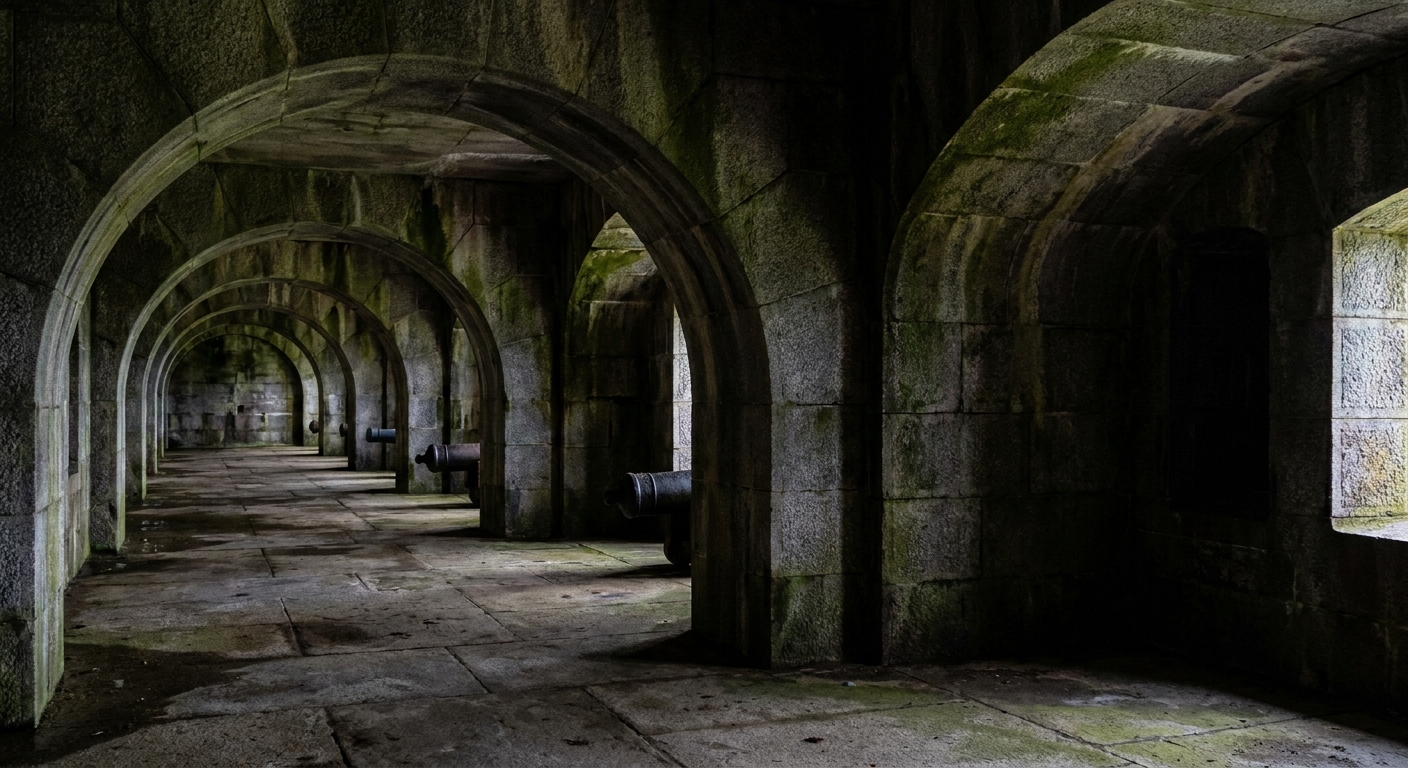
Fort Knox is technically a later fort, built in the mid-1800s, but it sits in the shadow of a War of 1812 lesson Maine never forgot: Penobscot Bay was vulnerable. In 1814, British forces captured Castine at the mouth of the Penobscot River and held it through the end of the war. During that occupation, British authorities collected customs duties at the port, revenue later remembered as the “Castine Fund,” with a long afterlife in Maine’s public education. When you stand at Fort Knox and look downriver, you are looking along a defensive idea sharpened by that earlier shock: control the river approach, or someone else will.
What to do on site
- Walk the casemates slowly: you can feel how a garrison lived inside stone, with damp air and echoing footsteps.
- Trace the angles: look at how the fort’s shape controls the river approach, not just the immediate shoreline.
- Look downriver on a clear day: the whole visit makes more sense when you treat the water as the main road and ask where a hostile vessel would want to anchor or turn.
- Pair it with Castine if you can: even without a single “War of 1812” cannon still mounted, the geography tells the story.
War of 1812 takeaway: Maine’s coast was not a quiet backwater. It was a doorway into river systems that could be occupied, redirected, and made profitable.
2) Fort McClary (Kittery Point, Maine)
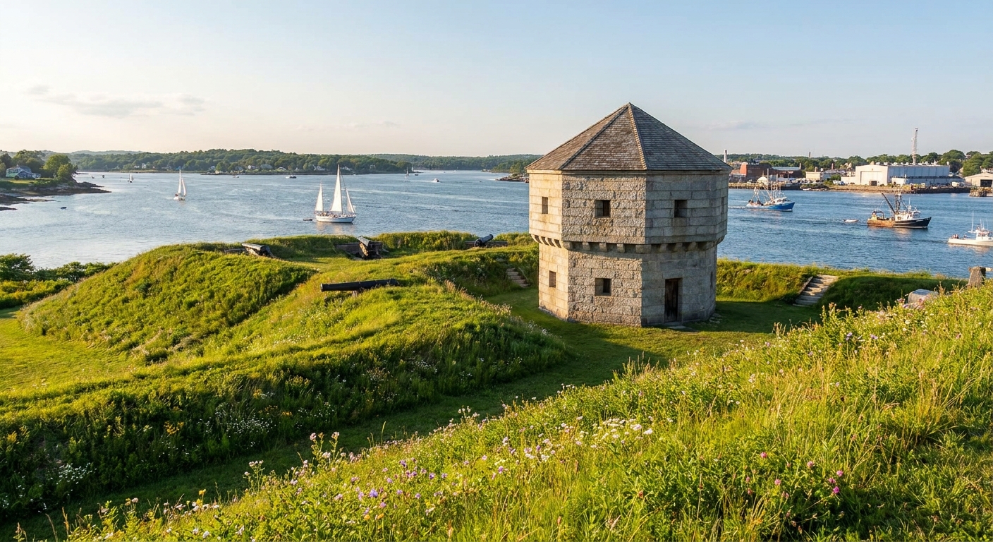
If Fort Knox teaches the big lesson of river strategy, Fort McClary teaches the intimate one: a tight channel, a close neighbor, and the anxious business of watching your own harbor mouth. This fortification sits opposite Portsmouth, New Hampshire, guarding the Piscataqua River approaches. The ground hosted defenses as far back as the colonial period, and the site remained important through later centuries, which is one reason you can still visit and read it today without squinting too hard.
What makes it feel like 1812
The War of 1812 coastline was a world of alarms. A British ship did not need to fire to cause harm. The mere threat could freeze trade, drive insurance rates up, and keep coasters hugging shore. From Fort McClary’s vantage, you can imagine watchers scanning for sails and trying to make the oldest, hardest distinction at sea: friend, foe, or wrong guess.
- Stand where you can see the channel: forts like this were built around the simple truth that ships must pass through certain bottlenecks.
- Look for the older shapes under the later site: grassy lines and abrupt changes in elevation hint at earlier earthwork thinking, even when later construction steals the spotlight.
- Watch the current and traffic: it is easier to understand coastal defense when you can see why a river mouth is worth guarding on an ordinary day.
War of 1812 takeaway: defense was local. Towns watched their own water like a farmer watches a fence line after a storm.
3) Fort Warren (George’s Island, Boston Harbor, Massachusetts)
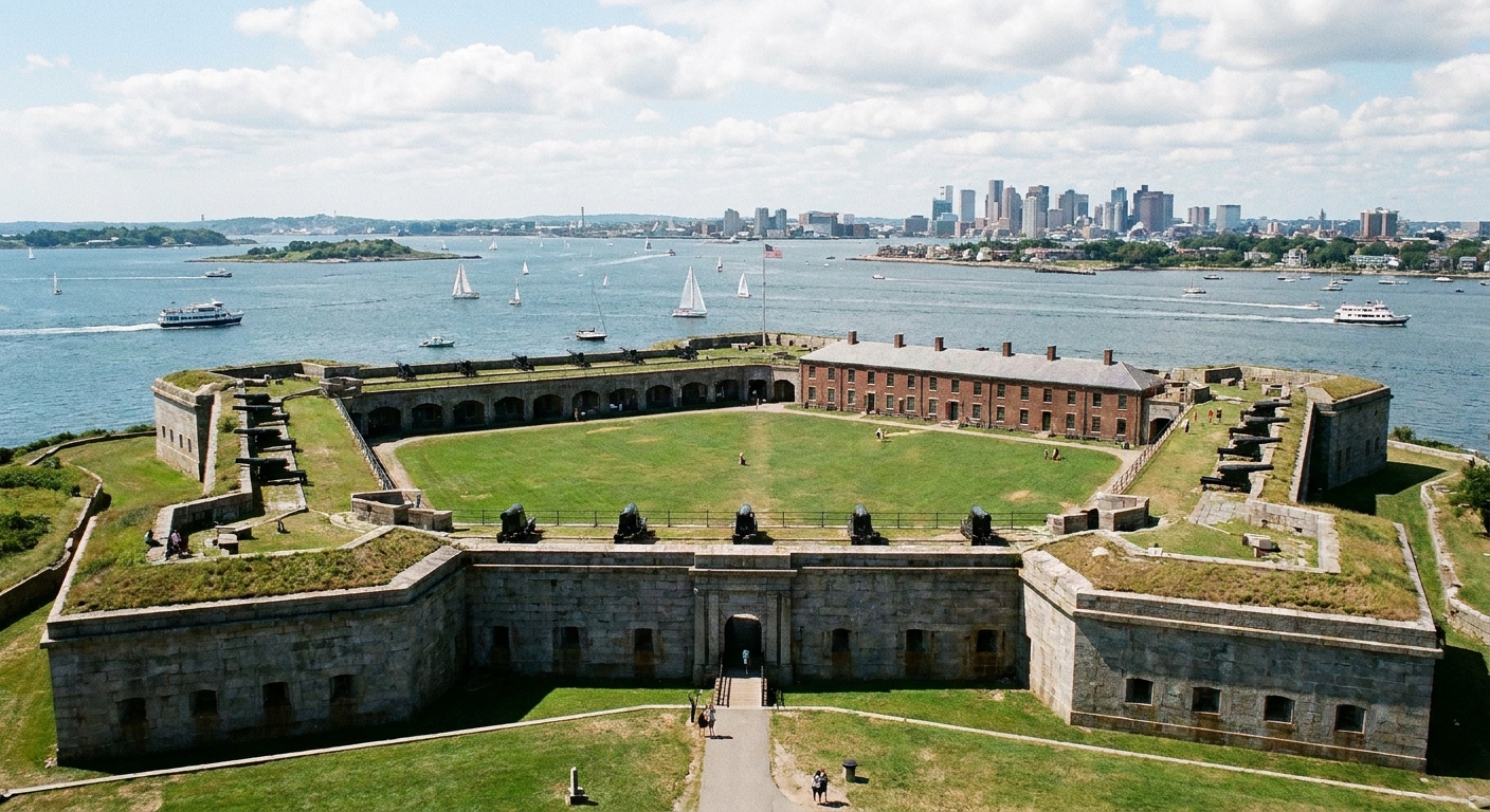
Fort Warren, the granite giant on George’s Island, is another later build, but it belongs on any War of 1812 coastal itinerary for one reason: Boston Harbor’s defenses did not emerge from nowhere. The war years sharpened American attention to harbor vulnerability, commerce disruption, and the strategic reality that a powerful navy can punish a coastline even when it cannot permanently occupy it.
How to visit with an 1812 mindset
- Arrive by boat if possible: the approach across water is part of the story. Forts feel different when the sea is what delivers you.
- Plan around seasonal access: island schedules can be the difference between a perfect morning and a long look from the mainland.
- Walk the perimeter: you will understand why island forts are stubborn problems for an attacker.
- Think trade, not just combat: War of 1812 pressure often came from strangled shipping lanes and disrupted markets.
War of 1812 takeaway: even when the big guns you see are later, the fear they answer is the same. A hostile fleet parked offshore can change daily life.
4) Fort Independence (Castle Island, Boston, Massachusetts)
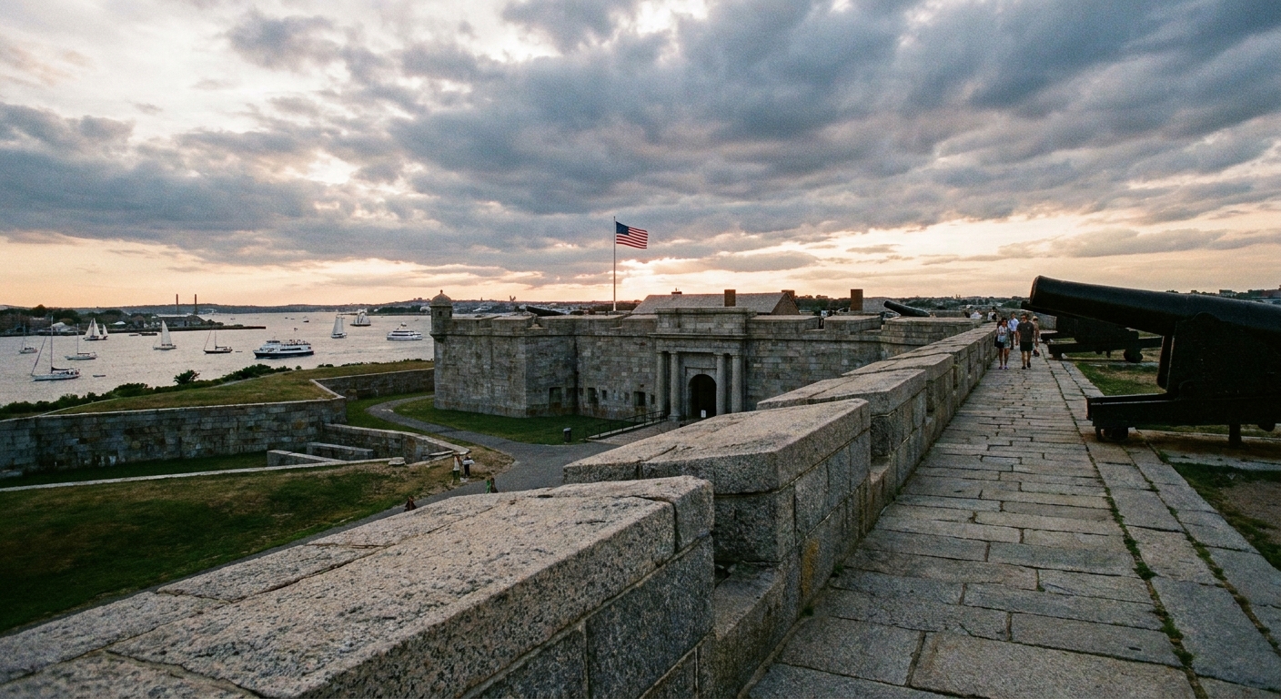
Castle Island is one of those places where you can feel multiple centuries stacked under your feet. The fort you see today is largely a later incarnation, but Boston’s “castle” defenses are old, and the location itself is the constant: a hard point guarding an approach to a major port. During the War of 1812, ports like Boston lived with the uneasy rhythm of alarms and disruption. Blockade pressure intensified as the war went on, and it did not feel the same every year, but the underlying reality remained. If your economy rides on ships, you live at the mercy of what can enter your harbor and what can be kept out.
What to look for
- Harbor geometry: watch how the fort’s position relates to channels and open water. You are standing at a problem in navigation as much as a problem in artillery.
- Sightlines you can test with your own eyes: walk a few minutes, stop, and look back toward the harbor. The point is to see what an approaching ship cannot hide from.
- Connections to the wider war: coastal defenses make more sense when you remember the naval dimension. If you want a broader view, start with five naval actions that changed the war.
War of 1812 takeaway: a coastal fort is as much a message as a weapon. It tells an enemy, “This harbor will not be an easy bite.”
5) Fort Trumbull (New London, Connecticut)
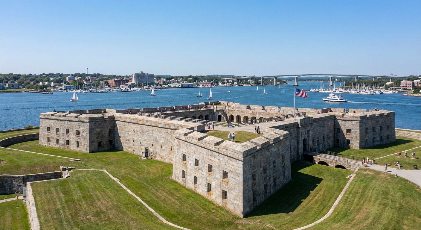
If you want a fort with War of 1812 proximity baked into the ground beneath it, go to New London. The Thames River was a nerve line, not only for local trade but for naval activity and privateering culture along the Connecticut shore. Fort Trumbull’s current masonry presence reflects later rebuilding, but the riverfront setting makes it easy to understand why this ground mattered when the coastline felt like a front line and when a blockade could turn basic goods into luxuries.
On-the-ground moments that bring it alive
- Face the river first: you are standing where defenders measured threat in masts and tides.
- Look for how the fort sits with the town: wharves, warehouses, and river traffic are the real backdrop. A fort protects a working waterfront, not an abstract map symbol.
- Watch the bends and narrowing water: river mouths and chokepoints are where anxiety concentrates, because ships must slow, turn, and commit.
War of 1812 takeaway: Connecticut’s coast was not just scenery. It was infrastructure, and infrastructure is always a military target in wartime.
How to plan a simple weekend
I like a loop that mixes one big stone fort with one smaller, older-feeling site. That way you get both the dramatic architecture and the intimate geography. The trick is to keep travel time realistic and to remember that a few of these places live on seasonal schedules.
- Maine pairing: Fort McClary (channel watching) + Fort Knox (river strategy).
- Boston Harbor pairing: Castle Island + George’s Island, focusing on how a port tries to protect itself from sea pressure.
- Connecticut anchor: Fort Trumbull, especially if you are already tracing coastal towns and river mouths.
To me, the point of these visits is not just stone and cannon mounts. It is the feeling of a war that could be present without being visible, experienced as shortages, delayed ships, and the sudden hush of a harbor waiting for news. If you want your fort visits to connect more directly to that human layer, browse the broader context in our timeline guide and people guide. I find that reading even one civilian account before a visit changes what you notice in the wind and the silence.
Quick FAQ
Are these forts exactly as they were in 1812?
Some features and footprints trace back to earlier defenses, but several of the most intact masonry works you see today were expanded or rebuilt later. What remains true is the ground: the channels, the headlands, the river mouths, and the logic of where you put guns when your fear arrives by sea.
Why focus on lesser-known coastal forts?
Because they show what the war felt like away from headline battles. A blockade does not always leave a neat battlefield, but it leaves anxiety, improvisation, and defensive building. These forts are physical reminders that the front often ran along wharves and shoreline roads.
What should I bring?
Good walking shoes, a light layer even in summer, and a notebook if you like jotting down details. Old forts are full of small clues, like sightlines and masonry scars, that you forget the moment you leave unless you write them down.