
I grew up on the New York side of Lake Ontario, where the War of 1812 still sits close to the surface. My grandfather could pause mid-walk, point into a stand of trees, and say, “That’s where they camped.” Toronto is the opposite kind of challenge. Here, the ground that once shook with cannon fire has been paved, landscaped, and built up into a modern city with a long memory. But the Battle of York is still here, if you know how to hunt for it.
This walking route is for that kind of hunting: a step-by-step way to stand in today’s Toronto and picture April 1813, when American troops came ashore west of town along the 1813 shoreline, British regulars and militia tried to hold the line, and the Grand Magazine explosion at Fort York turned a withdrawal into catastrophe. That blast caused significant American casualties and mortally wounded Brig. Gen. Zebulon Pike, a detail worth carrying with you as you walk the ground.
Before you go
- Time on foot: roughly 2 to 3 hours at an easy pace, longer if you stop to read plaques and linger.
- Start: Fort York National Historic Site, at the visitor area and parade ground.
- Finish: a lakeside viewpoint where you can look back toward the fort grounds and reset your sense of the old shoreline.
- What you are looking for: Fort York’s surviving footprint, nearby burial ground history, and shoreline viewpoints that help you imagine the landing and the retreat.
- What makes this tricky: York’s 1813 shoreline was different, and the fortifications you see today reflect more than one period. You are reading layers, not chasing a perfect GPS dot.
- Bring: comfortable shoes, water, and something that can pull up historic maps on your phone. You don’t need special gear, just patience and a willingness to read the landscape.
- Access and weather: most of this route is on paved paths and sidewalks. Inside the fort, you may encounter uneven ground and thresholds. Wind off the lake can turn a pleasant day sharp fast, especially in spring.
- Hours and admission: parts of Fort York may depend on open hours and ticketing. If you want to go inside buildings, check current hours before you head out. The walk still works as an exterior loop if you arrive early or late.
If you want a broader grounding in how we connect battles to places, our Historic Sites guide pairs well with this walk. For battle context across the whole war, keep our Battles guide bookmarked.
The route at a glance
- Fort York parade ground and south ramparts
- Southwest edge and lake-facing perimeter
- Garrison burial ground near Strachan Avenue
- Walk south to the waterfront and look back
- Do the “lost shoreline” reset and finish
This isn’t a route built on grand monuments every few minutes. It’s built on surviving fragments, careful signage, and the power of standing where the city’s layers overlap.
Quick battle context
On April 27, 1813, American forces approached York by water and landed west of the town relative to the 1813 shoreline. They pushed east toward the town and its defenses. The British commander, Maj. Gen. Roger Hale Sheaffe, fought a delaying action and then withdrew rather than risk being cut off. During that withdrawal, the Grand Magazine at Fort York was blown up, striking advancing Americans and closely associated with Pike’s mortal wounding. When you’re trying to map this onto modern Toronto, think in directions and distances: west-to-east movement along the lake, then a retreat away from the fort area, with the magazine explosion happening at the fort.
Stop 1: Fort York
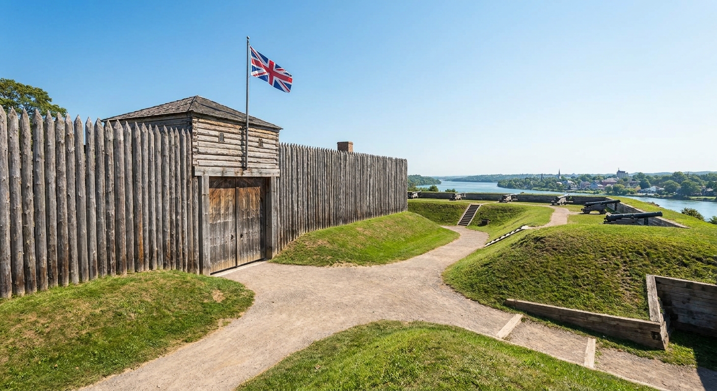
Start where the surviving core makes the strongest case: Fort York. York in 1813 wasn’t the Toronto you know. It was the provincial capital of Upper Canada, a small town with military stores that mattered more than its population. Fortifications near the lakeshore protected the garrison, supplies, and the political heart of the colony.
Where to begin on the ground: start at the visitor area at Fort York and step onto the open parade-ground space. From there, you can orient yourself fast: the city rises to your north and east, and the lake sits south. That southward pull is the key. This story starts on the water.
As you step onto the grounds, slow down and look for three things:
- Lake-facing angles: where lines open toward the water. Even with modern buildings in the background, you can feel why the shoreline mattered.
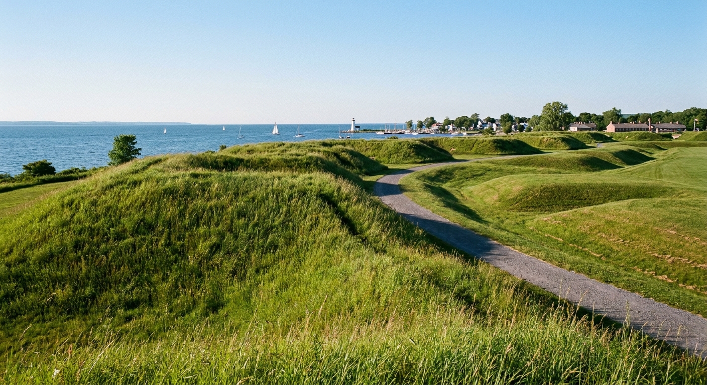
- Earthworks and modest elevation: the low, practical shapes that don’t photograph like castles but do their work in silence.
- Distance on foot: how quickly “far away” becomes “uncomfortably close.” That’s the soldier’s reality, not the textbook’s.
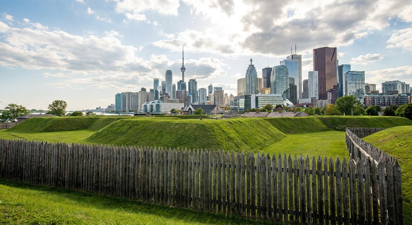
What happened here, in plain terms: Americans landed to the west along the lakeshore as it existed in 1813, advanced toward York’s defenses, and pressed in. Sheaffe withdrew, and the town was occupied. During the withdrawal, the Grand Magazine at the fort was exploded, causing heavy loss among the Americans nearest the blast. Pike, one of the senior American commanders on the field, was mortally wounded.
Keep that last detail in your pocket. A lot of the Battle of York’s emotional weight lives in that explosion. It wasn’t tidy. It was sudden, devastating, and personal.
Stop 2: The south and west edges
Once you’ve oriented yourself, walk the fort’s perimeter with a purpose. Don’t just follow the nearest path. Try to trace the defensive logic. Ask yourself, “If I were trying to slow an enemy coming from the west along the lakeshore, where would I put guns, and where would I put tired men?”
Wayfinding, without GPS: from the parade ground, drift toward the fort’s south side, the side that faces the lake. Then keep walking until you’ve traced the southwest corner and are moving along the west edge. In other words, keep the lake generally on your right as you make your loop.
What you’re trying to see: how an approach from the west compresses space. The ground doesn’t need to be steep to be useful. It just needs to be open enough for defenders to see you, and close enough for musket and cannon fire to reach you.
This is where modern Toronto can actually help you. The city’s straight lines and hard edges make you notice how valuable even small rises and open lanes would’ve been in 1813.
If you want a timeline refresher before or after your walk, our War of 1812 timeline guide helps anchor York inside the wider 1813 campaign year.
Stop 3: The burying ground
One of the quickest ways to drain the romance out of any battle is to stand where the dead were buried. York’s fight is often summarized with strategic phrases: “provincial capital,” “naval stores,” “raid,” “reprisal.” A burial ground reminds you what those words cost.
What to look for by name: signage for the Fort York military burial ground near Strachan Avenue. Some maps and markers refer to it as the Strachan Avenue Military Burying Ground. If the exact wording shifts, the tell is the same: a small, fenced or bordered pocket of stones and memorial text set right up against everyday city movement.
When you reach it, take a few minutes to do the thing most visitors rush past:
- Read names and units when they’re available, and notice when they’re not. Silence on a marker can be its own kind of testimony.
- Look at age ranges, when listed. War of 1812 service often meant very young men and older family men pulled into militia obligations.
- Notice proximity: how close burial ground history sits to where people worked, drilled, and lived. This was a community under strain, not a distant “front.”
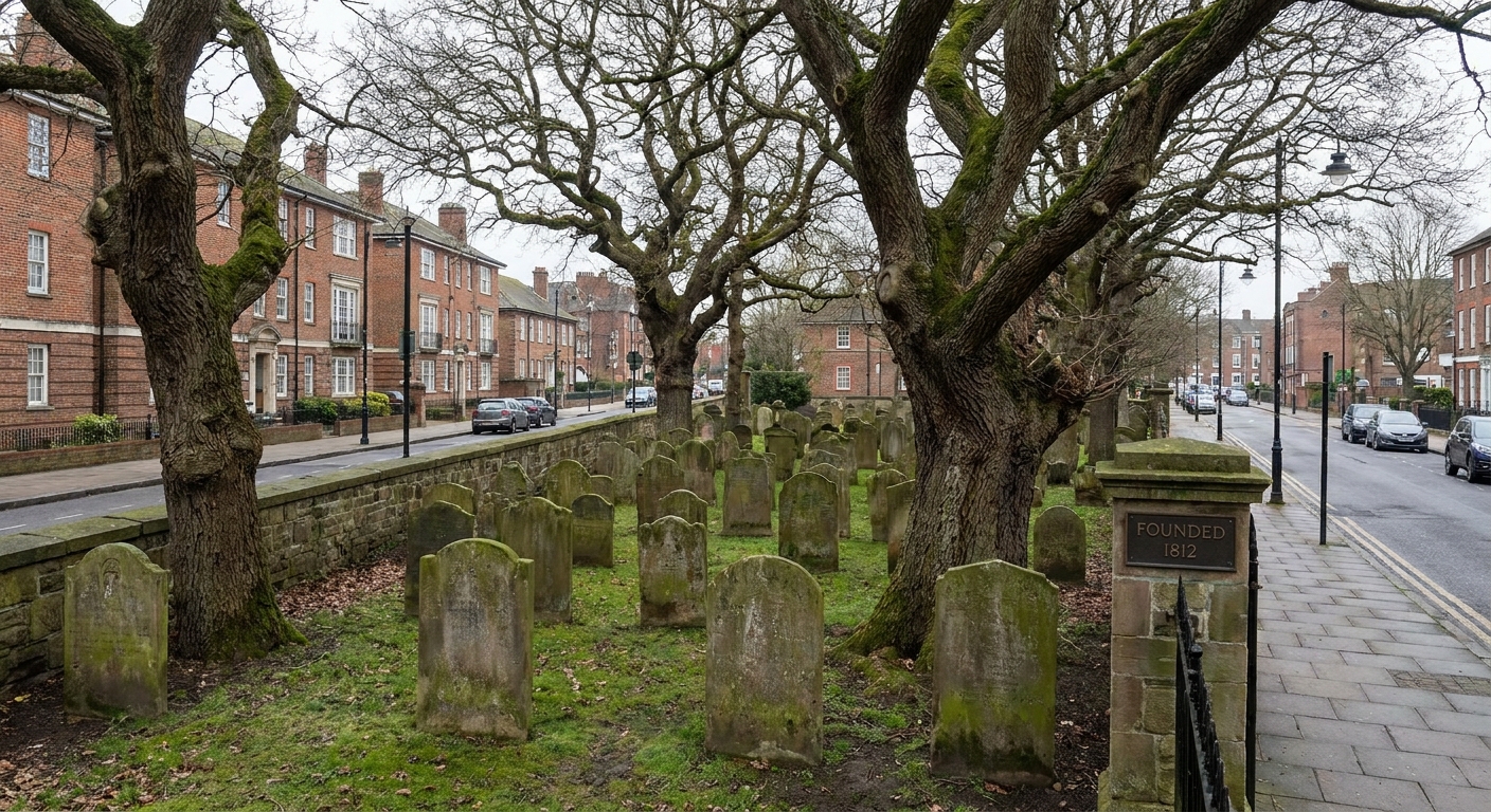
On my first visit to a War of 1812 cemetery as a kid, my grandfather told me, “The dates are short because the lives were short.” It felt grim then. It feels honest now.
Stop 4: Walk down to the lake
Now head toward the waterfront. The landing that opened the Battle of York depended on something simple that every modern walker understands: access. Armies aren’t just courage and flags. They’re boats scraping sand, wet powder, men stumbling under packs, and officers trying to keep a line straight while the world explodes sideways.
Wayfinding, without pretending the shoreline hasn’t moved: from the fort area, keep walking south until you reach a continuous lakeside path or promenade. Pick a spot where you can do two things at once: hear the water and look back toward the fort’s general area.
Once you’re there, do a small exercise I use everywhere from Niagara to the Gulf Coast:
- Find a long, low stretch of shoreline.
- Walk fifty to a hundred paces. Then ask yourself how long it would take to move hundreds of men from boats to any kind of cover, with volleys and smoke and orders being shouted into wind.
- Look for exposure. Modern rail corridors, roads, and breakwalls stand in for the kind of natural mess that would’ve mattered in 1813: marshy ground, thickets, shallow inlets, and uneven banks.

Stop 5: The lost shoreline reset
If you only take one skill away from this route, make it this: in a port city, the waterline moves over time. That single fact explains why visitors sometimes leave Toronto feeling like the Battle of York has vanished.
Here’s the reset I use when a city has grown over a battlefield:
- Stand still and name three anchors: the fort, the lake, and a major street that feels older than the towers around it.
- Pull the 1813 lake closer in your head. Imagine raw banks and wet ground, not landscaped edges.
- Replay the movement: landing to the west, advance toward the fort, then withdrawal and the magazine blast at the fort. The map in your head becomes a story again.
This is also where it helps to spend time with primary voices. Diaries and letters rarely sound like neat battle narratives. They sound like fear, confusion, weather, hunger, and irritation. If you want to explore people-first history across the war, our People guide is a good place to wander next.
What you’re really seeing
Shoreline changes
Toronto’s harborfront is a product of growth and reshaping. For War of 1812 walking, that means the battle’s geography is partly buried under later engineering. Instead of hunting for an exact spot, focus on lines of approach, distances, and defensible ground. If the lake feels too far from where you expected the battle to live, that’s not you missing it. It’s the city changing its own edge.
Layered fortifications
Fort sites are living sites. Repairs, rebuilds, and later military needs can change what survives. That doesn’t make the place less true. It makes it more human. Garrison towns rarely freeze in one year.
Markers that whisper
In some cities, plaques and interpretive signs are loud. In Toronto, you often have to look a little harder and read a little longer. When you find a marker, treat it like a handshake across time. Then look up and notice what you smell, what you hear, and how fast traffic moves. That friction between quiet text and loud present day is part of the lesson.
York in your pocket
- Date: April 27, 1813
- What it was: an American amphibious attack on York, the capital of Upper Canada
- British commander: Maj. Gen. Roger Hale Sheaffe
- American commander remembered for York: Brig. Gen. Zebulon Pike
- Why it mattered: strategic supplies, morale, and the war’s cycle of raids and reprisals around the lakes
- The moment people remember: the Grand Magazine explosion at Fort York during the British withdrawal
York’s story also sits inside a wider border war where communities on both sides paid the price. If you want another perspective on what secured Canada’s border after hard fighting, read Queenston Heights vs. Lundy’s Lane.
Tips for a vivid walk
Listen for the ordinary
When you read signage or background material, don’t just collect commanders and outcomes. Look for camp-life details: rations, weather, wounded transport, civilian displacement. Those are the details that make a modern street corner feel haunted in the best, most instructive way.
Walk slow on purpose
The temptation in a city is to hustle from point to point. Resist it. Battles weren’t experienced at city-walking speed. A short, slow stretch can teach you more than an extra mile done too fast.
Let the skyline stay
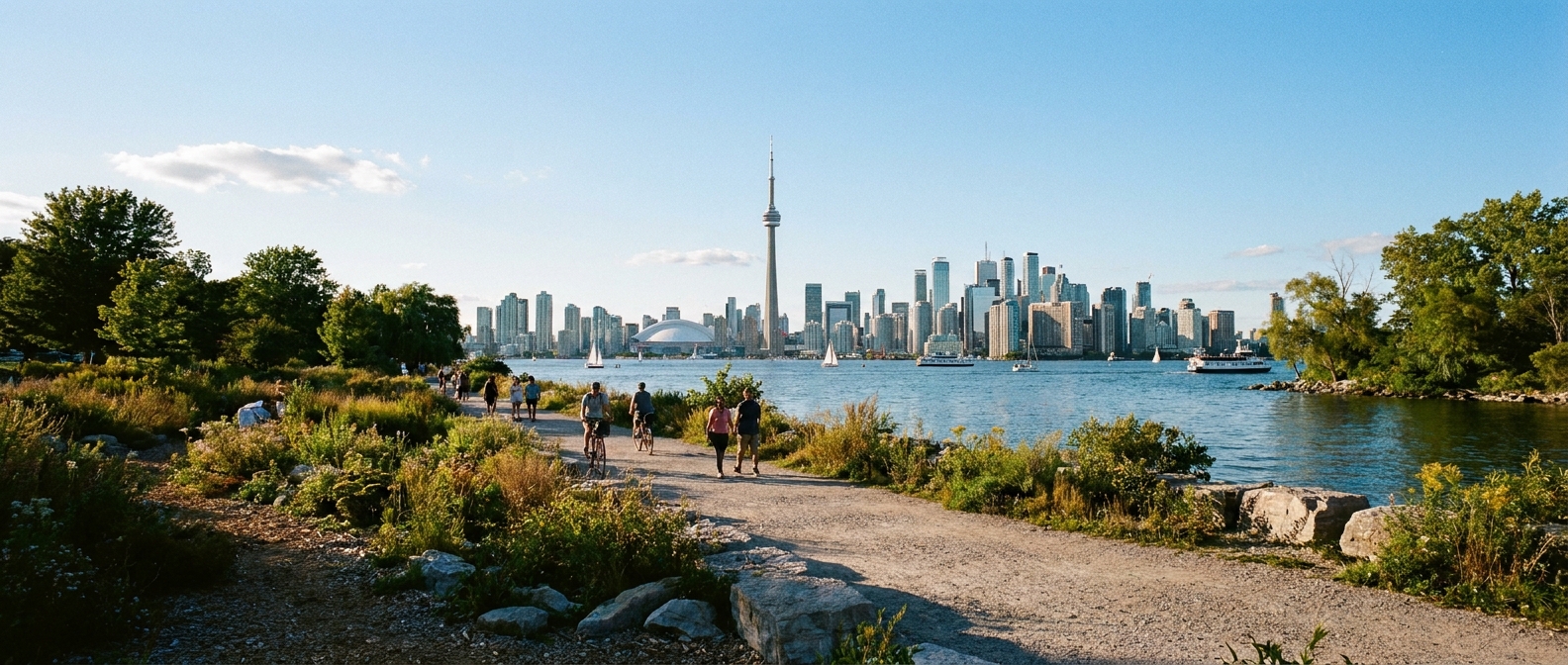
I used to think modern buildings ruined historic sites. Now I think they do something useful. They remind you that the people of 1813 weren’t living in a museum either. They were living in their own present, with all its worries, rumors, and unfinished work.
FAQ
Is this route good for first-time visitors?
Yes, especially if you like detective work. You’ll get a strong anchor at Fort York, then you’ll practice connecting that anchor to a city that has changed around it.
How far is the walk?
It depends on detours, but plan on a few miles of easy urban walking with frequent stops.
Is it stroller or wheelchair friendly?
Mostly, yes. The sidewalks and waterfront paths are generally smooth. Inside Fort York, expect a few uneven surfaces and thresholds that can slow you down.
Will I see original 1813 buildings?
Think site memory more than untouched architecture. The value here is standing on surviving ground, reading markers, and learning to interpret a modern landscape sitting on top of older events.
Where can I go next on this site?
For more trip-style planning, explore Historic Sites. For battle-by-battle reading, start with Battles. If you’re the kind of reader who likes to stitch events into sequence, Timeline is the best rabbit hole.
A final thought
When I finish this walk, I like to end where the lake is visible and the city noise softens just a notch. I picture boats pushing in through chop and smoke, and I picture townspeople watching from doorways, trying to decide what to save first. Toronto has grown into its own skin since 1813, but the old anxieties still make sense when you stand in the wind off Lake Ontario. The battle isn’t gone. It’s layered. And once you learn to see layers, you start finding the War of 1812 everywhere.