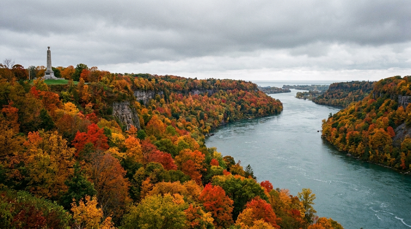

I grew up close enough to the St. Lawrence that the word “border” never felt abstract. As a kid, my grandfather would steer me off the road onto weed-choked pull-offs where some half-forgotten marker stood, and he would say, “This line on the map had to be argued into existence.” Years later, walking old militia roads and shoreline batteries, I have come to think of the US-Canadian boundary as a stitched seam. It looks neat from a distance. Up close, it is all knots: surveys, commissions, timber claims, fishing rights, and a lot of patient paperwork that followed the shooting.
The Treaty of Ghent ended the War of 1812 without changing territory on purpose. But it did something just as important. It built specific, workable ways to settle the boundary questions that older treaties left fuzzy. What follows is a timeline of seven turning points after 1814 that hardened that seam into the border we recognize today.
Timeline: seven crucial turning points
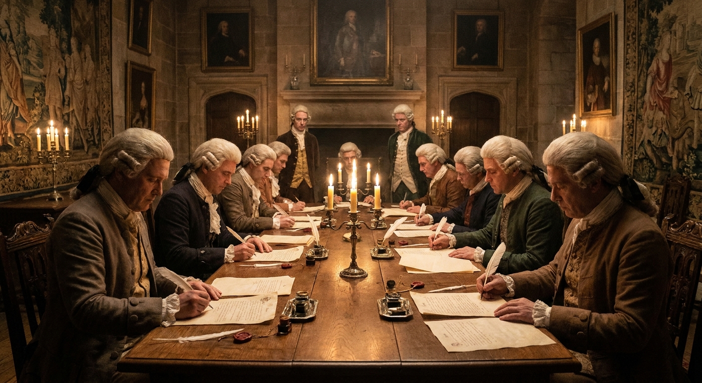
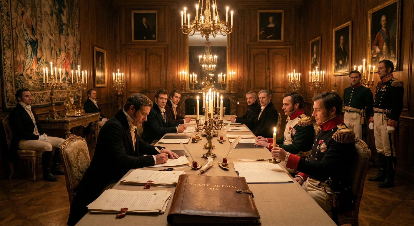
1) December 24, 1814: The Treaty of Ghent creates mixed commissions for key boundary questions
Ghent is famous for what it did not do: it did not redraw North America the way earlier European treaties had. Instead, it restored territory to the status quo ante bellum and, crucially, created mixed commissions and arbitration mechanisms to handle specific disputes the war had inflamed or exposed.
Here is the practical genius of Ghent. Rather than trying to settle every river bend in Belgium, the treaty pointed both countries back to existing boundary language from 1783 and earlier agreements, then said, in effect, “Now go measure it together.” If you have ever stood on a foggy shoreline in the North Country trying to tell which channel is the “main” one, you can appreciate why that mattered. Some of the early work focused on questions like islands in Passamaquoddy Bay and the hard-to-describe line running out of the Lake of the Woods.
- Border impact: set up mixed commissions for several high-friction boundary problems and gave both sides a structured path to settle them without reopening the war.
- Human reality: civilians along the line wanted predictability. Farmers, timber crews, and merchants were tired of living under shifting military rules.
If you want the war-ending context first, start with our Ghent timeline.
2) 1817: The Rush-Bagot Agreement demilitarizes the Great Lakes
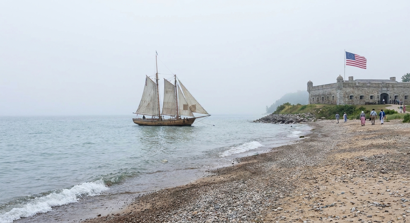
A couple of years after peace was in force, the United States and Britain (for Canada) made one of the most quietly important border decisions in North American history: they agreed to limit naval armaments on the Great Lakes and Lake Champlain.
Rush-Bagot did not draw a line with a pen, but it changed the border’s daily meaning. A boundary backed by gunboats feels like a front line. A boundary policed lightly begins to feel like a shared space. In plain terms, it put the era of big lake squadrons on a tight leash, leaving room for routine patrol rather than fleet-on-fleet tension. The agreement helped make later surveys and commissions possible without every dispute turning into a military emergency.
- Border impact: reduced the chances that a boundary argument on the lakes would become an armed clash.
- Why it matters to 1812 readers: the Great Lakes were the war’s main highway. Removing war fleets from that highway stabilized the postwar line.
3) 1818: The Treaty of 1818 sets the 49th parallel, and leaves Oregon shared for now
The Treaty of 1818 did something wonderfully blunt. Across the prairie west, it fixed a long stretch of the boundary at the 49th parallel, from the Lake of the Woods to the Rocky Mountains. That decision still shapes the map in a way you can see at a glance.
But it also postponed a very large question. The treaty established joint occupation of the Oregon Country for 10 years, meaning both British and American interests could operate there while diplomats delayed the final decision. Border-making often works like that: one hand draws a clean line; the other writes “not yet” in the margins.
- Border impact: created a crisp, survey-friendly boundary in the west (49th parallel) and formalized temporary ambiguity in the Pacific Northwest.
- Everyday consequence: for traders and settlers, “shared” territory meant overlapping legal assumptions and competing claims.
4) 1827: The 1827 Convention extends joint occupation in the Oregon Country
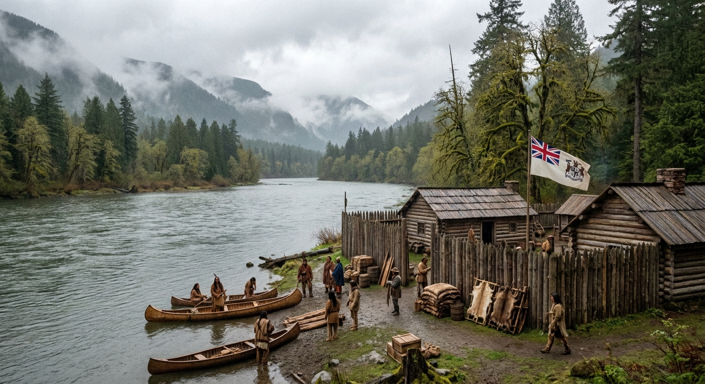
By 1827, neither side was ready to settle Oregon permanently, but neither wanted a crisis. The Anglo-American Convention signed in London renewed the joint-occupation arrangement, continuing it indefinitely unless either party gave notice.
From a border perspective, this matters because it shows the post-1814 pattern: when the line was uncertain, both governments often chose structured delay rather than war. It is not romantic, but it is effective. The border was being defined as much by what the two countries refused to fight over as by what they settled immediately.
- Border impact: preserved peace by extending a temporary regime rather than forcing a premature boundary settlement.
- Long fuse: the longer “temporary” lasted, the harder a later compromise would become.
5) 1842: The Webster-Ashburton Treaty fixes key eastern disputes and sets the Aroostook line
If you have ever driven the back roads of northern New England and wondered why the border jogs the way it does, you are looking at the aftermath of years of confusion and intimidation that nearly turned violent. The so-called Aroostook War was not a full war, but it was more than a spat. Lumber, land, and pride were on the line.
The Webster-Ashburton Treaty finally settled several stubborn problems: the Maine and New Brunswick boundary, issues touching the Great Lakes region, and cooperation in suppressing the transatlantic slave trade. For our purposes, its great contribution was that it replaced uncertainty with surveyed, agreed lines in places where local tensions were flaring.
- Border impact: clarified and confirmed sections of the northeastern boundary that had been dangerously ambiguous.
- Human angle: timber crews and local militias were often the tip of the spear in these disputes, long before national capitals felt urgency.
6) 1846: The Oregon Treaty draws the Pacific Northwest border at the 49th parallel
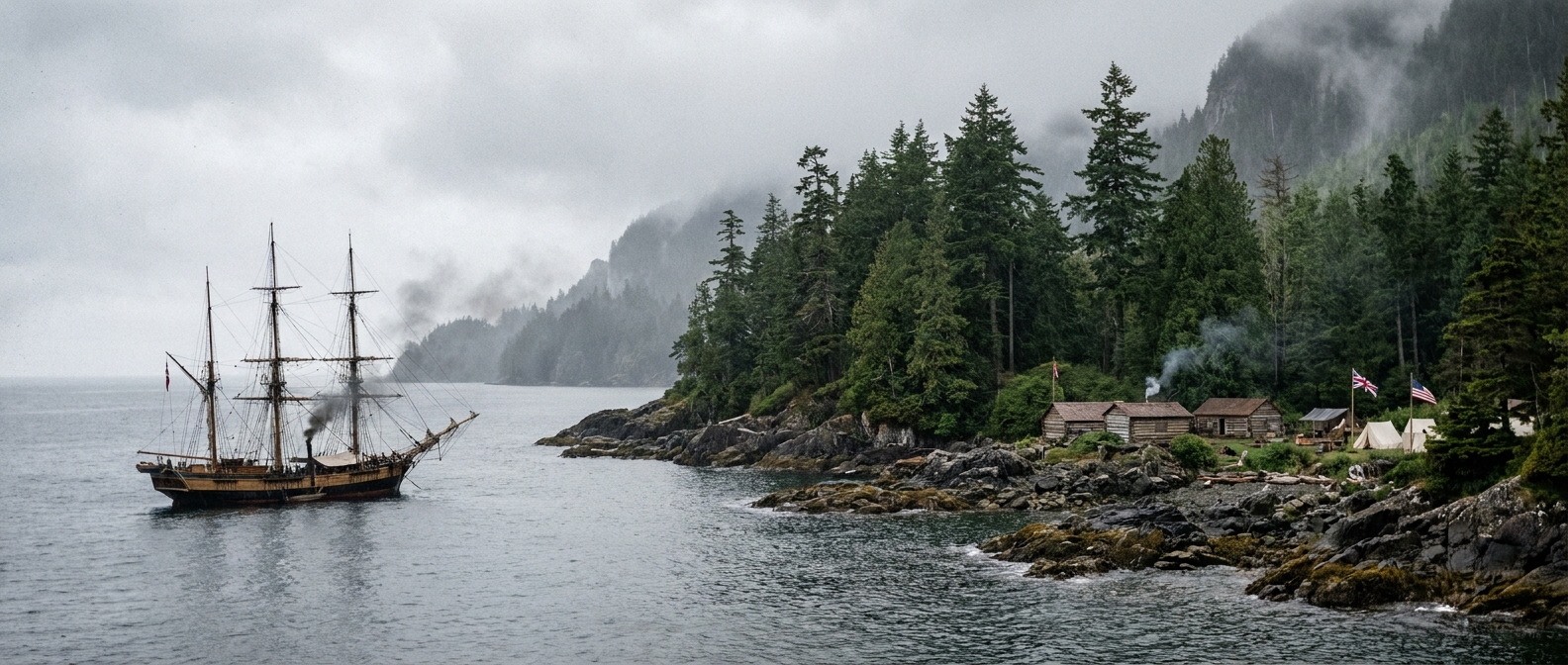
The Oregon Treaty ended the long joint-occupation era by extending the 49th parallel to the sea, with the important exception of Vancouver Island, which remained British. This is one of those decisions that seems inevitable only because we are used to the map it created.
For readers of the War of 1812, it is also a reminder: the conflict’s end did not “finish” border-making. It began a diplomatic habit. By 1846, the United States and Britain had decades of practice using treaties, surveyors, and joint processes instead of cannon fire.
- Border impact: established the basic US-Canada land boundary in the Pacific Northwest.
- Why it counts as a turning point: it closed a major open question left intentionally unresolved in 1818.
7) 1903: The Alaska Boundary Tribunal settles a major land-boundary quarrel
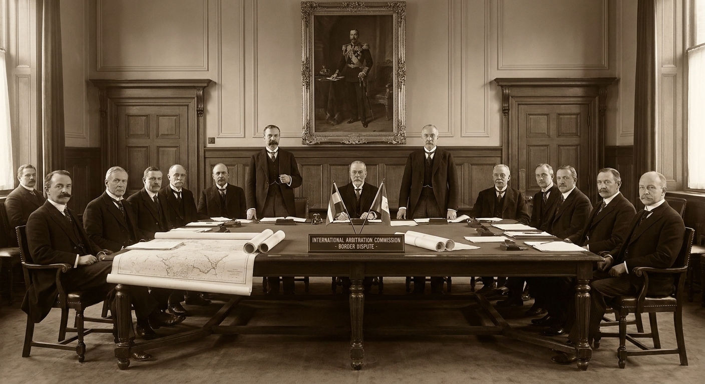
By the late 19th century, the border was largely recognizable. But Alaska, purchased by the United States in 1867, carried a lingering problem inherited from older Russian and British assumptions: where exactly did the coastal panhandle boundary run, and who controlled access to key inlets and routes?
The 1903 tribunal did not satisfy everyone, especially in Canada, but it produced a final, enforceable decision on a high-stakes stretch of the boundary. It was not the end of every cross-border disagreement, especially at sea, but it was one of the last major decisions that fixed the border’s land geometry on the map.
- Border impact: resolved the most consequential Alaska land-boundary dispute affecting modern US-Canada geography.
- Long view: the War of 1812 ended in 1814, but the work of defining the peace’s geography ran well beyond the generation that fought it.
What the commissions changed on the ground
Diplomatic milestones can feel bloodless until you stand where the paperwork landed. In the borderlands, a settled line meant that a farmer knew which laws governed his land, a customs officer knew where to stand, and a local militia captain was less likely to get a midnight alarm about “incursions” that were really just survey confusion.
After 1814, mixed commissions and follow-on treaties tended to do three practical things again and again:
- They turned old words into measured reality. Treaties that referenced “the middle of the river” demanded someone decide which channel counted.
- They swapped military pressure for procedure. Rush-Bagot, in particular, made it harder for a border squabble to escalate fast on the lakes.
- They made room for local life to restart. Trade, family connections, and seasonal work rarely matched the urgency of national pride. A stable border let people breathe.
When I walk places like the St. Lawrence corridor, I often think about how many veterans of 1812 probably expected the next war to start right where the last one ended. The surprise is that, slowly, deliberately, it did not.
Quick map of the story
| Year | Milestone | What it settled |
|---|---|---|
| 1814 | Treaty of Ghent | Peace framework, mixed commissions for specific boundary disputes |
| 1817 | Rush-Bagot Agreement | Limits on naval armaments on the Great Lakes and Lake Champlain |
| 1818 | Treaty of 1818 | 49th parallel (Lake of the Woods to Rockies), joint occupation in Oregon (10 years) |
| 1827 | 1827 Convention | Extended joint occupation in Oregon, with termination by notice |
| 1842 | Webster-Ashburton Treaty | Key northeastern boundary disputes, including Maine and New Brunswick |
| 1846 | Oregon Treaty | Pacific Northwest boundary largely on the 49th parallel |
| 1903 | Alaska Boundary Tribunal | Alaska panhandle land boundary |
If you want to follow the border with your boots
Some readers prefer their history with gravel in the shoe treads. If that is you, two of my favorite ways into this topic are to start where the War of 1812 was hottest, then trace how those battle corridors later became quieter borderlands.
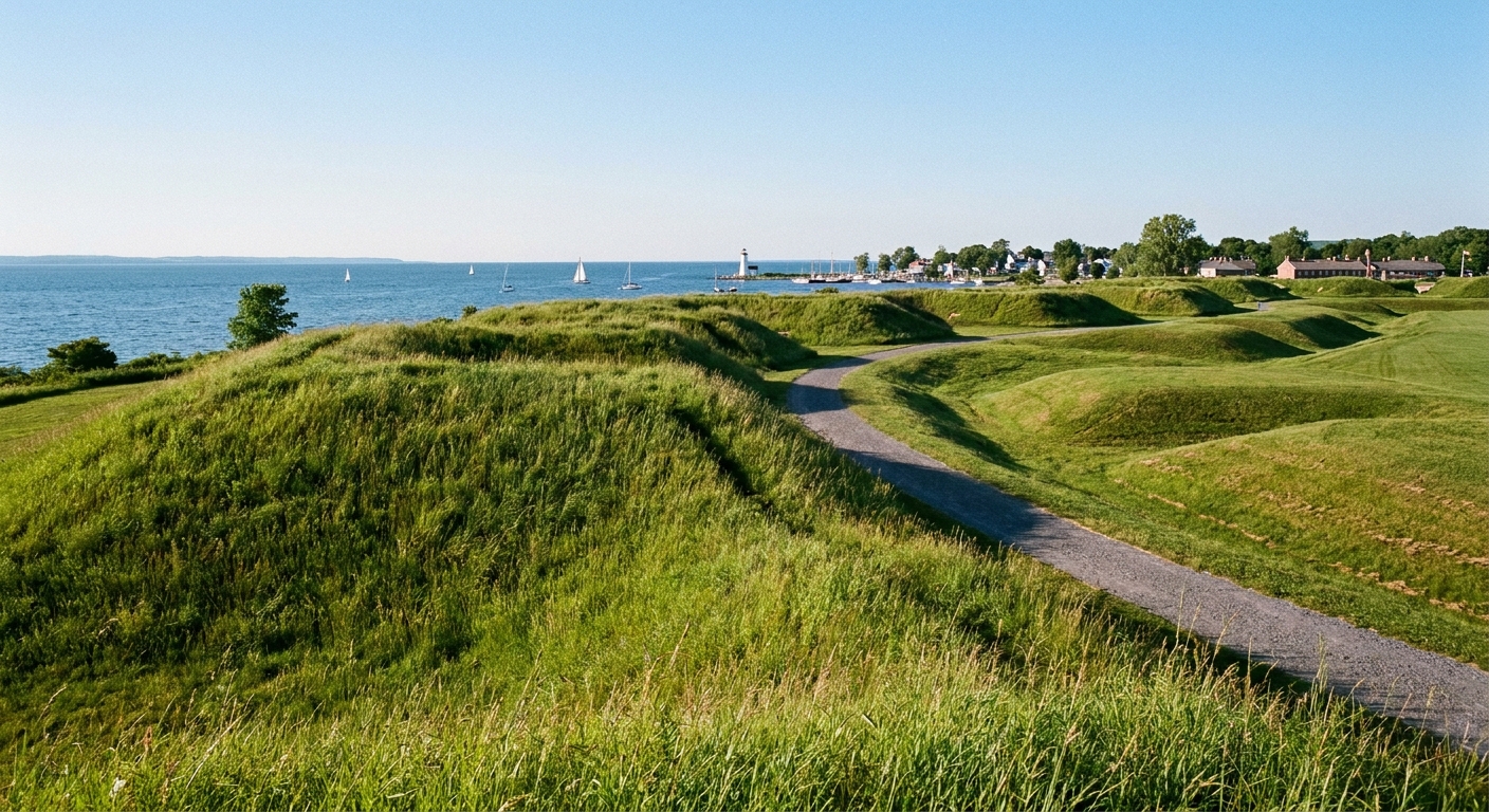
- Sackets Harbor walking guide, where the lake frontier’s military geography is still legible.
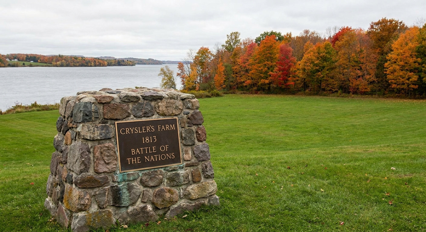
- Crysler’s Farm memorial guide, for a St. Lawrence perspective on why the river mattered so much, and why defining channels and shorelines became more than academic.
- More timelines if you want to zoom in on specific years and campaigns.
Sources I keep close
I am not allergic to textbooks, but for border-making I always come back to a few reliable, plainspoken repositories: